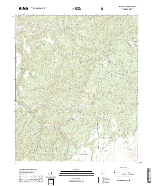
2023 Map of Telephone Canyon
USGS Topo · Published 2023About this map
Gila National Forest encompasses this high-elevation landscape in Catron County, dominated by the massif of Elk Mtn and the branching drainage of North Fork Negrito Creek. The topography is defined by significant divides, including the Rainy Mesa Divide and Elk Mountain Divide, which separate deep canyons like Sheppard Canyon and Beaverdam Canyon. Human activity in this wilderness area is marked by specialized infrastructure, notably the Negrito Airstrip and the curiously named Sheepherders Baseball Park. Ranching and resource management are evident through a network of water features such as Rainy Mesa Tank, West Salt House-Tank, and Logger Spring. Access is provided by Forest Service routes including the Reserve Beaverhead Rd and Bursum Rd, which navigate the complex terrain of Eckleberger Hill and the surrounding volcanic uplands.
Find a feature on this map
49 named features on this map. Tap any name to fly to it.
Don’t see what you’re looking for? This feature index may not catch every label — zoom into the map to look around manually.
Map Details
Editions of this 2023 Telephone Canyon Map
This is the sole edition of this map. No revisions or reprints were ever made.
Other maps of this area

1910 · Mogollon
USGS Topo · 1:125,000

1911 · Alum Mountain
USGS Topo · 1:125,000

1912 · Mogollon
USGS Topo · 1:125,000

1913 · Alum Mountain
USGS Topo · 1:125,000

1915 · Reserve
USGS Topo · 1:125,000

1918 · Pelona
USGS Topo · 1:125,000

1918 · Reserve
USGS Topo · 1:125,000

1954 · Clifton
USGS Topo · 1:250,000

1957 · Clifton
USGS Topo · 1:250,000

1958 · Clifton
USGS Topo · 1:250,000