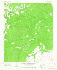
1963 Map of Telephone Canyon
USGS Topo · Published 1966About this map
Rainy Mesa and the high ridges of the Gila National Forest dominate this 1960s landscape, where remote ranching and seasonal forest work define the settlement patterns. Human presence is concentrated around specialized clearings such as Brennan Ranch, Gilson Ranch, and the Mining Camp, illustrating the era's reliance on isolated outposts for land management and resource extraction. One of the most distinctive features is Sheepherders Baseball Park, a rare recreational landmark situated high in the canyon country.
Find a feature on this map
37 named features on this map. Tap any name to fly to it.
Don’t see what you’re looking for? This feature index may not catch every label — zoom into the map to look around manually.
Map Details
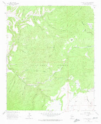
Editions of this 1963 Telephone Canyon Map
2 editions found
Other maps of this area

1910 · Mogollon
USGS Topo · 1:125,000

1911 · Alum Mountain
USGS Topo · 1:125,000

1912 · Mogollon
USGS Topo · 1:125,000

1913 · Alum Mountain
USGS Topo · 1:125,000

1915 · Reserve
USGS Topo · 1:125,000

1918 · Pelona
USGS Topo · 1:125,000

1918 · Reserve
USGS Topo · 1:125,000

1954 · Clifton
USGS Topo · 1:250,000

1957 · Clifton
USGS Topo · 1:250,000

1958 · Clifton
USGS Topo · 1:250,000