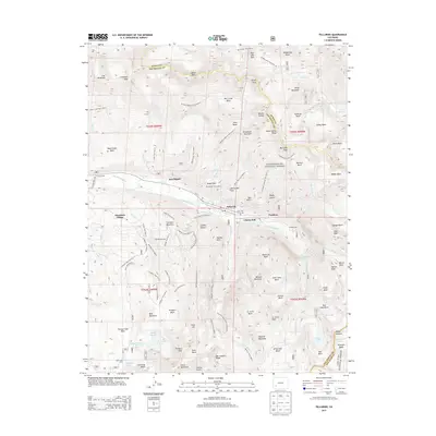
2013 Map of Telluride
USGS Topo · Published 2013About this map
Telluride serves as the focal point of this high-altitude survey, where the town's grid meets the dramatic verticality of the San Juan Mountains. The landscape is a complex network of historical industrial sites and modern recreational development, featuring the Pandora Mill at the head of the canyon and the widespread Telluride Ski Area to the south. Significant water features like Bridal Veil Falls and Ingram Falls illustrate the steep descent of the San Miguel River headwaters. High basins such as Yankee Boy Basin and Governor Basin are accessible via an intricate trail system, including the Sneffels Highline Trail and the Wasatch Trail. The map also captures several legacy locations such as Lone Tree Cem and the Ophir Loop Tram, reflecting the region's deep mining and transportation history before its transition to a resort destination.
Find a feature on this map
120 named features on this map. Tap any name to fly to it.
Don’t see what you’re looking for? This feature index may not catch every label — zoom into the map to look around manually.
Map Details
Editions of this 2013 Telluride Map
This is the sole edition of this map. No revisions or reprints were ever made.
Other maps of this area

1897 · Telluride
USGS Topo · 1:62,500

1897 · Silverton
USGS Topo · 1:62,500

1901 · Silverton
USGS Topo · 1:62,500

1902 · Silverton
USGS Topo · 1:62,500

1902 · Ouray
USGS Topo · 1:62,500

1904 · Ouray
USGS Topo · 1:62,500

1904 · Telluride
USGS Topo · 1:62,500

1909 · Montrose
USGS Topo · 1:125,000

1911 · Montrose
USGS Topo · 1:125,000

1945 · Durango
USGS Topo · 1:250,000