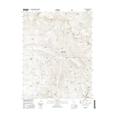
2016 Map of Telluride
USGS Topo · Published 2016About this map
Telluride and Mountain Village anchor this high-altitude landscape where the San Miguel River cuts through steep glacial basins. The map illustrates a complex network of recreational and historic paths, including the Sneffels Highline Trail and Jud Wiebe Trail, which trace the same contours once used by miners to access remote hanging valleys. The industrial legacy of the San Juan Mountains is evident in the naming of Mendoza Peak, Virginus Mine Trail, and the settlement of Pandora at the canyon's head.
Find a feature on this map
115 named features on this map. Tap any name to fly to it.
Don’t see what you’re looking for? This feature index may not catch every label — zoom into the map to look around manually.
Map Details
Editions of this 2016 Telluride Map
This is the sole edition of this map. No revisions or reprints were ever made.
Other maps of this area

1897 · Telluride
USGS Topo · 1:62,500

1897 · Silverton
USGS Topo · 1:62,500

1901 · Silverton
USGS Topo · 1:62,500

1902 · Silverton
USGS Topo · 1:62,500

1902 · Ouray
USGS Topo · 1:62,500

1904 · Ouray
USGS Topo · 1:62,500

1904 · Telluride
USGS Topo · 1:62,500

1909 · Montrose
USGS Topo · 1:125,000

1911 · Montrose
USGS Topo · 1:125,000

1945 · Durango
USGS Topo · 1:250,000