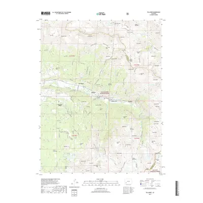
2019 Map of Telluride
USGS Topo · Published 2019About this map
The town of Telluride serves as the focal point of this 2019 survey, situated at the head of a glacial canyon where the San Miguel River begins its descent. The map illustrates the contemporary balance between its mining heritage and its modern identity as a mountain resort. Evidence of the area's industrial past remains visible through landmarks like the Virginus Mine and the Liberty Bell mine area, while the growth of Mountain Village and an extensive network of recreational paths, such as the Valley Floor Trail and See Forever trail, mark its recent evolution.
Find a feature on this map
116 named features on this map. Tap any name to fly to it.
Don’t see what you’re looking for? This feature index may not catch every label — zoom into the map to look around manually.
Map Details
Editions of this 2019 Telluride Map
This is the sole edition of this map. No revisions or reprints were ever made.
Other maps of this area

1897 · Telluride
USGS Topo · 1:62,500

1897 · Silverton
USGS Topo · 1:62,500

1901 · Silverton
USGS Topo · 1:62,500

1902 · Silverton
USGS Topo · 1:62,500

1902 · Ouray
USGS Topo · 1:62,500

1904 · Ouray
USGS Topo · 1:62,500

1904 · Telluride
USGS Topo · 1:62,500

1909 · Montrose
USGS Topo · 1:125,000

1911 · Montrose
USGS Topo · 1:125,000

1945 · Durango
USGS Topo · 1:250,000