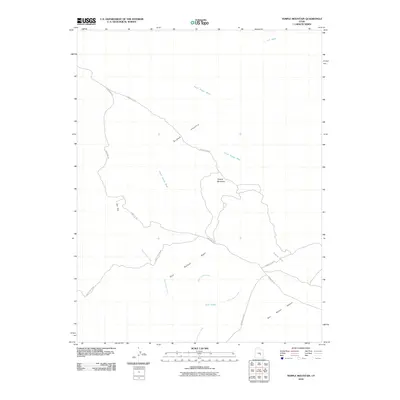
2010 Map of Temple Mountain
USGS Topo · Published 2010About this map
Temple Mountain anchors this high-desert landscape in Emery County, where the topography is defined by the sharp uplift of the San Rafael Reef. The area is a labyrinth of erosion and drainage, with ephemeral waterways like North Temple Wash, South Temple Wash, and Wild Horse Creek carving through the arid terrain. The map captures a transitional zone between the open flats of Sinbad Country and the shifting sands of the San Rafael Desert.
Find a feature on this map
16 named features on this map. Tap any name to fly to it.
Don’t see what you’re looking for? This feature index may not catch every label — zoom into the map to look around manually.
Map Details
Editions of this 2010 Temple Mountain Map
This is the sole edition of this map. No revisions or reprints were ever made.
Other maps of this area

1885 · San Rafael
USGS Topo · 1:250,000

1952 · Wild Horse
USGS Topo · 1:62,500

1952 · San Rafael Knob
USGS Topo · 1:62,500

1953 · Stinking Spring Creek 2 SE
USGS Topo · 1:24,000

1953 · Temple Mtn
USGS Topo · 1:62,500

1954 · Stinking Springs Creek 4 SW
USGS Topo · 1:24,000

1954 · Stinking Spring Creek 1 SE
USGS Topo · 1:24,000

1954 · Stinking Spring Creek 3 SE
USGS Topo · 1:24,000

1954 · Stinking Spring Creek 4 NE
USGS Topo · 1:24,000

1954 · Stinking Spring Creek 4 NW
USGS Topo · 1:24,000