
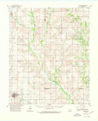
1962 Map of Temple
USGS Topo · Published 1964About this map
The town of Temple anchors this southwestern Oklahoma landscape, positioned along the Chicago Rock Island And Pacific railroad line. During the early 1960s, the region was defined by a mix of agricultural township grids and active industrial development, specifically within the Rock Creek Oil and Gas Field. Numerous oil wells are scattered across the terrain, particularly near Gas City and Empire City, illustrating the mid-century energy production that shaped local economies.
Find a feature on this map
45 named features on this map. Tap any name to fly to it.
Don’t see what you’re looking for? This feature index may not catch every label — zoom into the map to look around manually.
Map Details
Editions of this 1962 Temple Map
2 editions found
Other maps of this area

1901 · Addington
USGS Topo · 1:125,000

1902 · Rush Springs
USGS Topo · 1:125,000

1946 · Lawton
USGS Topo · 1:62,500

1949 · Nellie
USGS Topo · 1:62,500

1950 · Marlow
USGS Topo · 1:62,500

1951 · Marlow
USGS Topo · 1:62,500

1955 · Lawton
USGS Topo · 1:250,000

1956 · Ninemile Creek
USGS Topo · 1:24,000

1956 · Letitia
USGS Topo · 1:24,000

1956 · Nellie
USGS Topo · 1:24,000