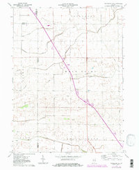
1962 Map of Templeton NE
USGS Topo · Published 1981About this map
The agrarian landscape of the Indiana prairie is defined by an intricate network of man-made waterways like Eastburn Ditch, Hollingsworth Ditch, and Hoagland Ditch. These drainage systems reveal the transformation of the region into productive farmland, spanning the borders of Carpenter, Princeton, and West Point. The area is characterized by scattered rural landmarks such as Meadow Lake Ch and the adjacent Meadow Lake Cem, which serve as community anchors for the surrounding farms. Natural drainage is provided by Big Creek and Pine Creek, while industrial activity is evidenced by a Gravel Pit and a Quarry located near the intersection of several townships. This map provides a look at the rural infrastructure of the early 1960s, documenting the legacy of field lines and drainage projects essential to the local economy.
Find a feature on this map
23 named features on this map. Tap any name to fly to it.
Don’t see what you’re looking for? This feature index may not catch every label — zoom into the map to look around manually.
Map Details
Editions of this 1962 Templeton NE Map
3 editions found
Other maps of this area

1953 · Danville
USGS Topo · 1:250,000

1955 · Danville
USGS Topo · 1:250,000

1956 · Danville
USGS Topo · 1:250,000

1962 · Mount Gilboa
USGS Topo · 1:24,000

1962 · Brookston SW
USGS Topo · 1:24,000
1962 · Round Grove
USGS Topo · 1:24,000

1962 · Templeton NE
USGS Topo · 1:24,000

1962 · Brookston NW
USGS Topo · 1:24,000

1962 · Monon
USGS Topo · 1:24,000

1962 · Templeton
USGS Topo · 1:24,000