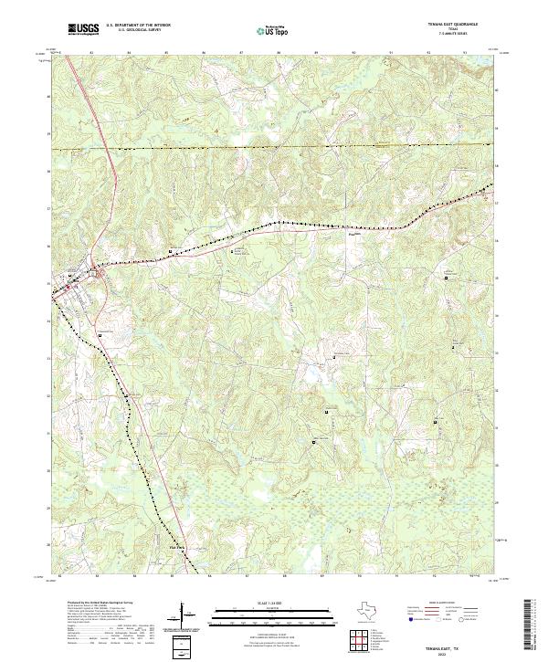
2022 Map of Tenaha East
USGS Topo · Published 2022About this map
The settlement of Tenaha sits at a critical junction in east Texas, where several major routes converge near the Panola County and Shelby County line. This survey details a landscape defined by its rural heritage, anchored by the community of Paxton and the smaller locality of Flat Fork. The area is notably dense with family burying grounds and community graveyards, including the Eli Martin Smith Family Cem and Old Home Cem, providing a clear map for genealogists tracing early regional families.
Find a feature on this map
96 named features on this map. Tap any name to fly to it.
Don’t see what you’re looking for? This feature index may not catch every label — zoom into the map to look around manually.
Map Details
Editions of this 2022 Tenaha East Map
This is the sole edition of this map. No revisions or reprints were ever made.
Other maps of this area

1945 · Socagee Bayou
USGS Topo · 1:62,500

1953 · Palestine
USGS Topo · 1:250,000

1956 · Tyler
USGS Topo · 1:250,000

1956 · Deadwood
USGS Topo · 1:62,500

1957 · Palestine
USGS Topo · 1:250,000

1958 · Center
USGS Topo · 1:62,500

1958 · Timpson
USGS Topo · 1:62,500

1958 · Carthage
USGS Topo · 1:62,500
1983 · Logan
USGS Topo · 1:24,000
1983 · Old Center
USGS Topo · 1:24,000