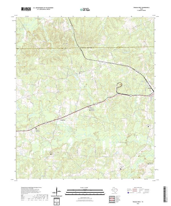
2022 Map of Tenaha West
USGS Topo · Published 2022About this map
Tenaha and the small settlement of Meldrum anchor this portion of Shelby County, where the landscape is defined by the headwaters of numerous creeks. The terrain rises to Porter Hill in the north, dividing the waters that flow toward Brushy Creek and Little Caney Creek. A notable concentration of rural burial grounds and sanctuaries, including the Friendship Bobo Baptist Church Cem and Tennessee Cem, speaks to the long-standing community ties in this East Texas timber and agricultural region.
Find a feature on this map
78 named features on this map. Tap any name to fly to it.
Don’t see what you’re looking for? This feature index may not catch every label — zoom into the map to look around manually.
Map Details
Editions of this 2022 Tenaha West Map
This is the sole edition of this map. No revisions or reprints were ever made.
Other maps of this area

1945 · Socagee Bayou
USGS Topo · 1:62,500

1953 · Palestine
USGS Topo · 1:250,000

1956 · Tyler
USGS Topo · 1:250,000

1956 · Deadwood
USGS Topo · 1:62,500

1957 · Palestine
USGS Topo · 1:250,000

1958 · Center
USGS Topo · 1:62,500

1958 · Timpson
USGS Topo · 1:62,500

1958 · Carthage
USGS Topo · 1:62,500
1983 · Old Center
USGS Topo · 1:24,000
1983 · Gary
USGS Topo · 1:24,000