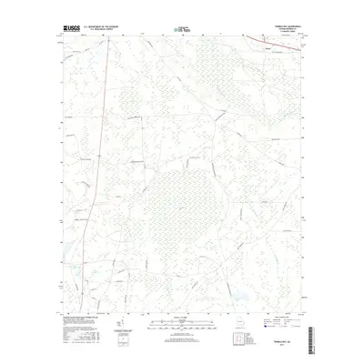
2017 Map of Tenmile Bay
USGS Topo · Published 2017About this map
The low-lying wetlands of southern Georgia define this landscape, where the Alapaha River meanders through a network of extensive swamps and basins. The terrain is anchored by large hydrologic features like Tenmile Bay and Tiger Bay, which historically dictated the pattern of local settlement and transport. In the northeastern corner, the small community of Glory sits along the highway, while the rest of the area is crisscrossed by a grid of rural routes. These roads, many bearing family names such as Lilla B Gaskins Rd and Willaford Jernigan Rd, reflect a long-standing agricultural and timber-based economy. The presence of Old Coffee Rd N points to the deeper historical roots of transit in Berrien County, following paths that predated modern paving. Water remains the dominant theme, from the drainage of Fivemile Cr to the quiet waters of Gaskins Pond.
Find a feature on this map
51 named features on this map. Tap any name to fly to it.
Don’t see what you’re looking for? This feature index may not catch every label — zoom into the map to look around manually.
Map Details
Editions of this 2017 Tenmile Bay Map
This is the sole edition of this map. No revisions or reprints were ever made.
Other maps of this area
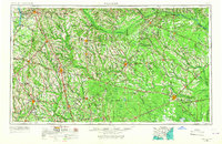
1953 · Waycross
USGS Topo · 1:250,000
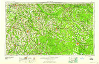
1958 · Waycross
USGS Topo · 1:250,000
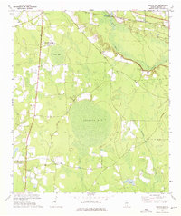
1972 · Tenmile Bay
USGS Topo · 1:24,000
1972 · Willacoochee
USGS Topo · 1:24,000
1972 · Lax
USGS Topo · 1:24,000
1973 · Sapps Lake
USGS Topo · 1:24,000
1973 · Nashville West
USGS Topo · 1:24,000
1973 · Enigma
USGS Topo · 1:24,000
1977 · Alapaha
USGS Topo · 1:24,000
1977 · Hastings Fish Pond
USGS Topo · 1:24,000