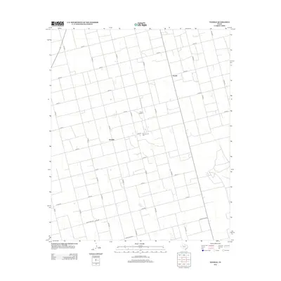
2012 Map of Tenmile
USGS Topo · Published 2012About this map
The agrarian landscape of Dawson County is defined by a rigid grid of section roads and energy extraction. Klondike and Tenmile serve as the primary landmarks in this expanse of the Llano Estacado, where the rectilinear survey pattern is interrupted only by small depressions and the industrial footprint of the Tex Hamon Oil Field. The map reveals the specialized nature of West Texas land use, balancing cotton farming and oil production. Transport across the plains relies on a network of numbered county roads, such as Co RD-31 and Co RD-32, and the specialized Thorp Airport located north of the oil field. State-maintained routes including FM-829 and Ranch Road 2002 provide the regional links through this sparsely populated but economically vital corner of the Permian Basin.
Find a feature on this map
28 named features on this map. Tap any name to fly to it.
Don’t see what you’re looking for? This feature index may not catch every label — zoom into the map to look around manually.
Map Details
Editions of this 2012 Tenmile Map
This is the sole edition of this map. No revisions or reprints were ever made.
Other maps of this area

1954 · Hobbs
USGS Topo · 1:250,000

1954 · Big Spring
USGS Topo · 1:250,000

1958 · Big Spring
USGS Topo · 1:250,000

1958 · Hobbs
USGS Topo · 1:250,000
1966 · Wolcott Ranch
USGS Topo · 1:24,000
1966 · Merrick
USGS Topo · 1:24,000
1966 · Flower Grove
USGS Topo · 1:24,000
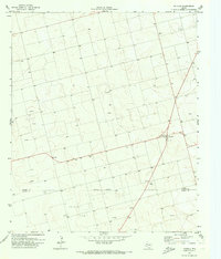
1970 · Patricia
USGS Topo · 1:24,000
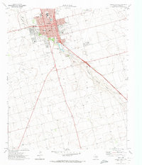
1970 · Lamesa South
USGS Topo · 1:24,000
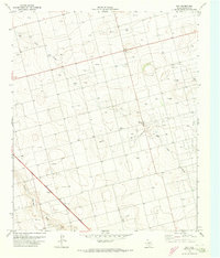
1970 · Key
USGS Topo · 1:24,000