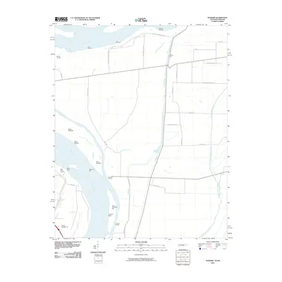
2010 Map of Tennemo
USGS Topo · Published 2010About this map
The Mississippi River dominates this landscape along the Tennessee-Missouri border, shaping the geography through continuous sediment transport and human engineering. This survey highlights the critical river-to-land interface, marked by a series of landings including Mavity Landing, Fritz Landing, and Tennemo Landing. These points, along with Island Number 16, represent the historical reliance on the river for transport and commerce in this alluvial plain.
Find a feature on this map
38 named features on this map. Tap any name to fly to it.
Don’t see what you’re looking for? This feature index may not catch every label — zoom into the map to look around manually.
Map Details
Editions of this 2010 Tennemo Map
This is the sole edition of this map. No revisions or reprints were ever made.
Other maps of this area

1925 · Reelfoot Lake
USGS Topo · 1:62,500

1939 · Reelfoot Lake
USGS Topo · 1:62,500

1939 · Portageville
USGS Topo · 1:62,500

1939 · Dyersburg
USGS Topo · 1:62,500

1939 · Caruthersville
USGS Topo · 1:62,500

1951 · Caruthersville
USGS Topo · 1:62,500

1952 · Dyersburg
USGS Topo · 1:24,000

1952 · Miston
USGS Topo · 1:24,000

1955 · Portageville
USGS Topo · 1:62,500

1956 · Reelfoot Lake
USGS Topo · 1:62,500