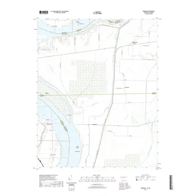
2019 Map of Tennemo
USGS Topo · Published 2019About this map
Mississippi River dynamics define this riverine landscape along the Tennessee-Missouri border, where shifting currents and silt deposits have created a complex series of landforms including Island Number 14, Blaker Towhead, and Gore Towhead. The map records the intricate network of levees and flood-control infrastructure essential to life in this low-lying region, notably the Big Levee Rd and Little Levee Rd which protect the small settlements of Tennemo and Cottonwood Grove.
Find a feature on this map
44 named features on this map. Tap any name to fly to it.
Don’t see what you’re looking for? This feature index may not catch every label — zoom into the map to look around manually.
Map Details
Editions of this 2019 Tennemo Map
This is the sole edition of this map. No revisions or reprints were ever made.
Other maps of this area
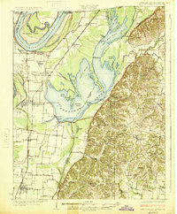
1925 · Reelfoot Lake
USGS Topo · 1:62,500
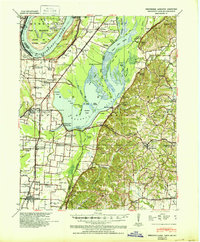
1939 · Reelfoot Lake
USGS Topo · 1:62,500
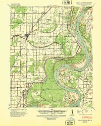
1939 · Portageville
USGS Topo · 1:62,500
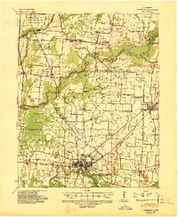
1939 · Dyersburg
USGS Topo · 1:62,500
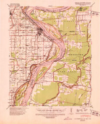
1939 · Caruthersville
USGS Topo · 1:62,500
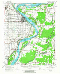
1951 · Caruthersville
USGS Topo · 1:62,500
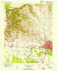
1952 · Dyersburg
USGS Topo · 1:24,000
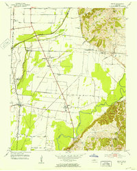
1952 · Miston
USGS Topo · 1:24,000
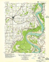
1955 · Portageville
USGS Topo · 1:62,500
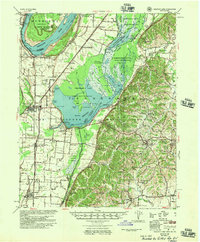
1956 · Reelfoot Lake
USGS Topo · 1:62,500