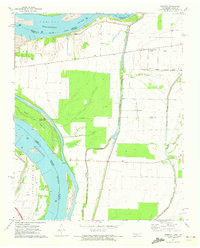
1971 Map of Tennemo
USGS Topo · Published 1972About this map
The Mississippi River defines the western edge of this landscape, its shifting course marked by numerous islands and towheads such as Island No 14 and Blaker Towhead. Set during a period of transition in the early 1970s, the map reveals a complex system of levees and floodgates designed to manage the low-lying terrain of Little Prairie and the surrounding river bottoms. Small agricultural communities like Tennemo and Cottonwood Grove are connected by a network of drainage ways including Blue Bank Bayou and Running Reelfoot Bayou, illustrating the area's deep reliance on land reclamation for farming.
Find a feature on this map
22 named features on this map. Tap any name to fly to it.
Don’t see what you’re looking for? This feature index may not catch every label — zoom into the map to look around manually.
Map Details
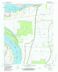
Editions of this 1971 Tennemo Map
2 editions found
Other maps of this area

1925 · Reelfoot Lake
USGS Topo · 1:62,500

1939 · Reelfoot Lake
USGS Topo · 1:62,500

1939 · Portageville
USGS Topo · 1:62,500

1939 · Dyersburg
USGS Topo · 1:62,500

1939 · Caruthersville
USGS Topo · 1:62,500

1951 · Caruthersville
USGS Topo · 1:62,500

1952 · Dyersburg
USGS Topo · 1:24,000

1952 · Miston
USGS Topo · 1:24,000

1955 · Portageville
USGS Topo · 1:62,500

1956 · Reelfoot Lake
USGS Topo · 1:62,500