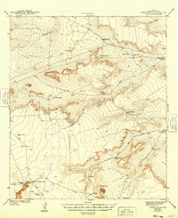
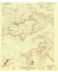
1943 Map of Tepee Butte
USGS Topo · Published 1949About this map
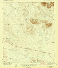
Tepee Butte rises prominently above a landscape defined by an extensive network of ephemeral water management in Hudspeth County, Texas. Surveyed by War Department and USGS topographers just before the United States entered World War II, the area reveals a specialized ranching economy. The map documents an intricate system of catchment features like Santiago Tank, Mohawk Tank, and Williamsburg Tank, essential for survival in this arid environment.
Find a feature on this map
29 named features on this map. Tap any name to fly to it.
Don’t see what you’re looking for? This feature index may not catch every label — zoom into the map to look around manually.
Map Details
Editions of this 1943 Tepee Butte Map
2 editions found
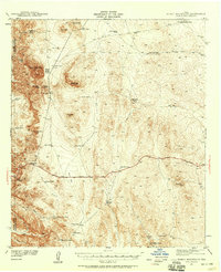
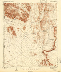
Other maps of this area

1894 · Fort Hancock
USGS Topo · 1:125,000

1895 · Sierra Blanca
USGS Topo · 1:125,000

1903 · Cerro Alto
USGS Topo · 1:125,000
1941 · Heuco Mountains
USGS Topo · 1:62,500
1942 · Borrego
USGS Topo · 1:62,500
1943 · Tepee Butte
USGS Topo · 1:62,500
1943 · San Antonio Mtn
USGS Topo · 1:62,500

1943 · Heuco Mountains
USGS Topo · 1:62,500

1943 · Finlay Mountains
USGS Topo · 1:62,500

1943 · Fort Hancock
USGS Topo · 1:62,500