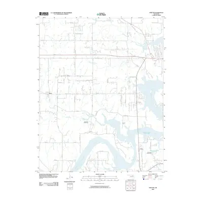
2009 Map of Terlton
USGS Topo · Published 2009About this map
The Terlton townsite and its surrounding rural Pawnee County landscapes are defined by a complex network of waterways feeding into the expansive Cimarron River. The terrain is marked by the confluence of House Creek, Cowskin Creek, and Bear Creek, which carve through the countryside before joining the river. Local infrastructure is a mix of traditional section-line roads and modern routes like Old US Hwy 64, reflecting the area's continued utility as a transportation corridor between larger regional hubs.
Find a feature on this map
48 named features on this map. Tap any name to fly to it.
Don’t see what you’re looking for? This feature index may not catch every label — zoom into the map to look around manually.
Map Details
Editions of this 2009 Terlton Map
This is the sole edition of this map. No revisions or reprints were ever made.
Other maps of this area

1912 · Hominy
USGS Topo · 1:125,000

1915 · Hominy
USGS Topo · 1:125,000

1915 · Hominy
USGS Topo · 1:62,500

1929 · Yale
USGS Topo · 1:62,500

1929 · Skedee
USGS Topo · 1:62,500

1931 · Skedee
USGS Topo · 1:62,500

1932 · Yale
USGS Topo · 1:62,500

1955 · Enid
USGS Topo · 1:250,000

1958 · Enid
USGS Topo · 1:250,000

1958 · Keystone Dam
USGS Topo · 1:24,000