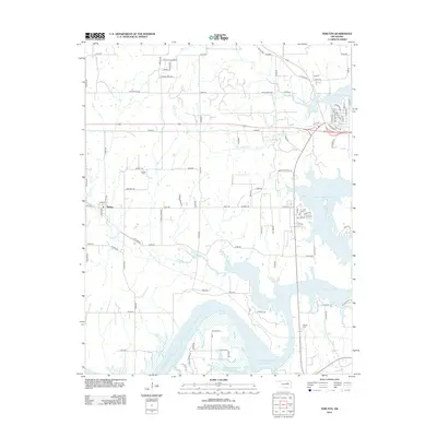
2012 Map of Terlton
USGS Topo · Published 2012About this map
Terlton serves as the primary community on this survey of Pawnee County, located just west of the sprawling waters of Keystone Lake. The landscape is defined by the convergence of the Cimarron River and several significant tributaries, including Bear Cr, Couskin Cr, and House Cr. This hydrology is further shaped by the Mannford Water Supply Lake, which occupies a large portion of the southern terrain.
Find a feature on this map
83 named features on this map. Tap any name to fly to it.
Don’t see what you’re looking for? This feature index may not catch every label — zoom into the map to look around manually.
Map Details
Editions of this 2012 Terlton Map
This is the sole edition of this map. No revisions or reprints were ever made.
Other maps of this area

1912 · Hominy
USGS Topo · 1:125,000

1915 · Hominy
USGS Topo · 1:125,000

1915 · Hominy
USGS Topo · 1:62,500

1929 · Yale
USGS Topo · 1:62,500

1929 · Skedee
USGS Topo · 1:62,500

1931 · Skedee
USGS Topo · 1:62,500

1932 · Yale
USGS Topo · 1:62,500

1955 · Enid
USGS Topo · 1:250,000

1958 · Enid
USGS Topo · 1:250,000

1958 · Keystone Dam
USGS Topo · 1:24,000