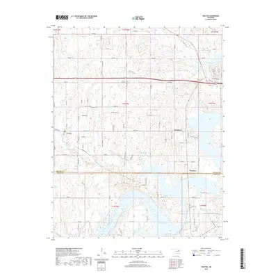
2018 Map of Terlton
USGS Topo · Published 2018About this map
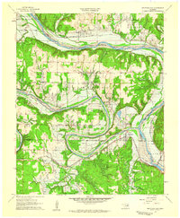
Keystone Lake dominates the eastern and southern portions of this landscape, its fingers reaching into the hilly terrain of the Oklahoma Osage Hills. The settlement of Terlton sits to the west, defined by a grid of rural roads and its namesake Terlton Cem to the north. This 2018 survey illustrates the modern configuration of Mannford and Westport along the lake's shores, where residential development like Point Drive and Highland Park Drive meets the water's edge. The map captures the significant transition from agricultural uplands, marked by landmarks like Orcutts Corner, to the managed reservoir system. Numerous small tributaries including Bear Creek, Cowskin Creek, and House Creek drain the dissected plateau into the lake, while Stone Creek flows through the southern reaches. The boundary between Pawnee and Creek Counties bisects the area, providing a clear reference for local land records and genealogical research.
Find a feature on this map
92 named features on this map. Tap any name to fly to it.
Don’t see what you’re looking for? This feature index may not catch every label — zoom into the map to look around manually.
Map Details
Editions of this 2018 Terlton Map
This is the sole edition of this map. No revisions or reprints were ever made.
Other maps of this area
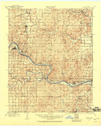
1912 · Hominy
USGS Topo · 1:125,000
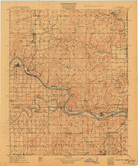
1915 · Hominy
USGS Topo · 1:125,000
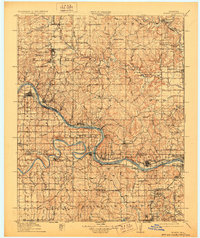
1915 · Hominy
USGS Topo · 1:62,500
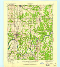
1929 · Yale
USGS Topo · 1:62,500
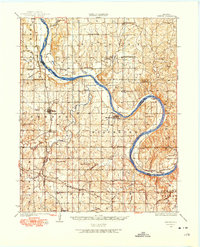
1929 · Skedee
USGS Topo · 1:62,500
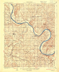
1931 · Skedee
USGS Topo · 1:62,500
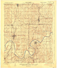
1932 · Yale
USGS Topo · 1:62,500

1955 · Enid
USGS Topo · 1:250,000

1958 · Enid
USGS Topo · 1:250,000
1958 · Keystone Dam
USGS Topo · 1:24,000