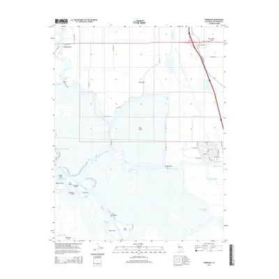
2015 Map of Terminous
USGS Topo · Published 2015About this map
King Island and the Empire Tract dominate this landscape of reclaimed delta lands in the San Joaquin Valley, where a complex network of waterways defines the geography. The settlement of Terminous sits at the junction of Little Potato Slough and the sloughs to the north, acting as a historical hub for the surrounding agricultural tracts. This 2015 edition documents the intricate system of levees and channels, including the Stockton Deep Water Channel and Disappointment Slough, that manage water across these low-lying reaches. Local transport follows the rectangular grid of the Public Land Survey System, with roads like N Peatland Rd and Guard Rd cutting across the fertile islands. To the south, numerous smaller islands such as Tule Island, Spud Island, and Hog Island pepper the San Joaquin River, illustrating the transition from large-scale agricultural tracts to the more fragmented riverine environment near Paradise Point.
Find a feature on this map
58 named features on this map. Tap any name to fly to it.
Don’t see what you’re looking for? This feature index may not catch every label — zoom into the map to look around manually.
Map Details
Editions of this 2015 Terminous Map
This is the sole edition of this map. No revisions or reprints were ever made.
Other maps of this area
1894 · Lodi
USGS Topo · 1:125,000
1910 · New Hope
USGS Topo · 1:31,680
1910 · Castle
USGS Topo · 1:31,680
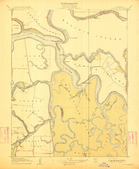
1910 · Bouldin
USGS Topo · 1:31,680
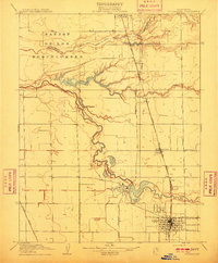
1910 · Woodbridge
USGS Topo · 1:31,680
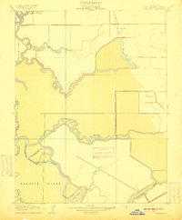
1910 · Headreach
USGS Topo · 1:31,680
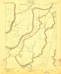
1910 · Isleton
USGS Topo · 1:31,680
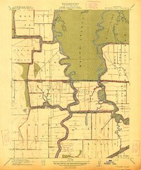
1913 · Woodward Island
USGS Topo · 1:31,680
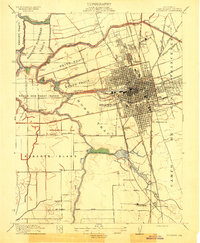
1913 · Stockton
USGS Topo · 1:31,680
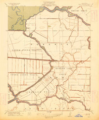
1913 · Holt
USGS Topo · 1:31,680