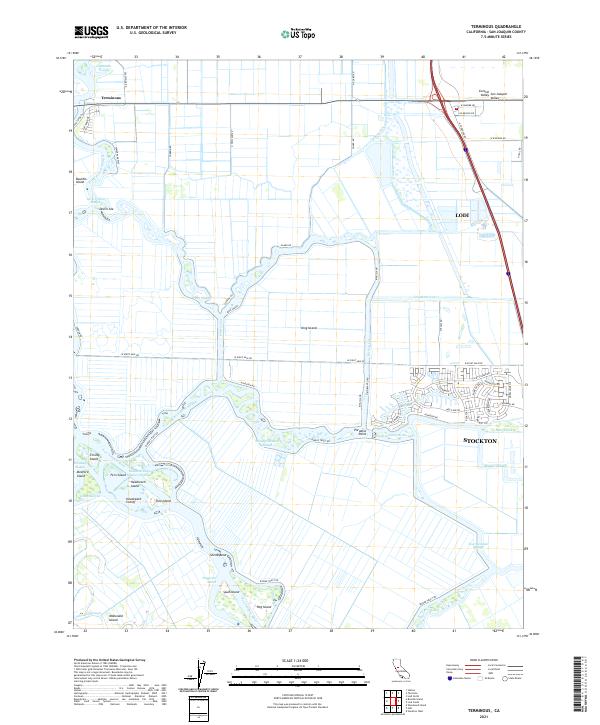
2021 Map of Terminous
USGS Topo · Published 2021About this map
Bouldin Island and King Island dominate this delta landscape where the San Joaquin River meets an intricate network of sloughs and man-made cuts. In the northwest corner, the settlement of Terminous sits at the junction of Little Potato Slough and Islemouth Slough, serving as a gateway to the tract lands. The map illustrates a highly managed hydrological environment, defined by features like Honker Cut, Bishop Cut, and the Headreach Cutoff, which facilitate navigation and drainage across the low-lying interior.
Find a feature on this map
65 named features on this map. Tap any name to fly to it.
Don’t see what you’re looking for? This feature index may not catch every label — zoom into the map to look around manually.
Map Details
Editions of this 2021 Terminous Map
This is the sole edition of this map. No revisions or reprints were ever made.
Other maps of this area

1894 · Lodi
USGS Topo · 1:125,000

1910 · New Hope
USGS Topo · 1:31,680

1910 · Castle
USGS Topo · 1:31,680

1910 · Bouldin
USGS Topo · 1:31,680

1910 · Woodbridge
USGS Topo · 1:31,680

1910 · Headreach
USGS Topo · 1:31,680

1910 · Isleton
USGS Topo · 1:31,680

1913 · Woodward Island
USGS Topo · 1:31,680

1913 · Stockton
USGS Topo · 1:31,680

1913 · Holt
USGS Topo · 1:31,680