
1968 Map of Terrace
USGS Topo · Published 1970About this map
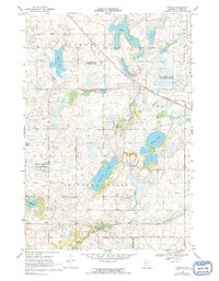
Terrace and the surrounding prairie and glacial potholes of Pope County are captured here during the late 1960s. The landscape is defined by the East Branch Chippewa River and the main Chippewa River, which wind through a terrain heavily managed for conservation. This includes the Heinks State Wildlife Management Area and the Sedan State Wildlife Management Areas. These wetlands, often referred to as a "pothole" landscape, feature numerous named bodies of water such as Marlu Lake, Swenoda Lake, and the unique State Fish Rearing Pond.
Find a feature on this map
22 named features on this map. Tap any name to fly to it.
Don’t see what you’re looking for? This feature index may not catch every label — zoom into the map to look around manually.
Map Details
Editions of this 1968 Terrace Map
2 editions found
Other maps of this area

1953 · Saint Cloud
USGS Topo · 1:250,000

1957 · Saint Cloud
USGS Topo · 1:250,000

1958 · Saint Cloud
USGS Topo · 1:250,000

1965 · Westport
USGS Topo · 1:24,000

1965 · Sedan
USGS Topo · 1:24,000

1967 · Lake Johanna
USGS Topo · 1:24,000

1968 · Glenwood
USGS Topo · 1:24,000
1968 · Villard
USGS Topo · 1:24,000

1968 · Lake Simon
USGS Topo · 1:24,000
1968 · Lake Minnewaska
USGS Topo · 1:24,000