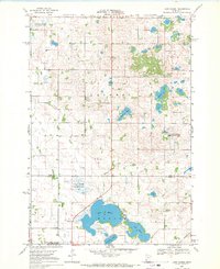
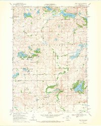
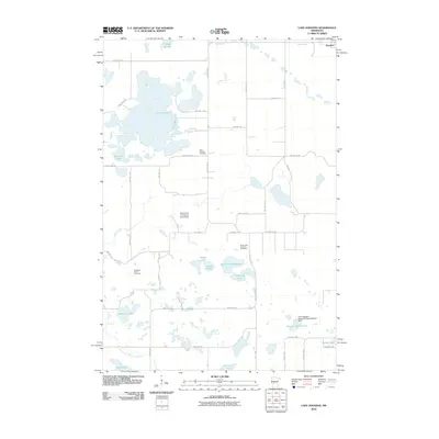
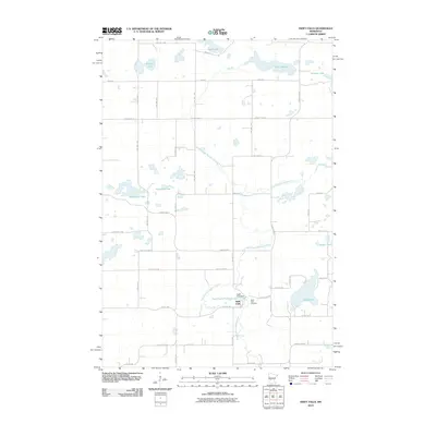
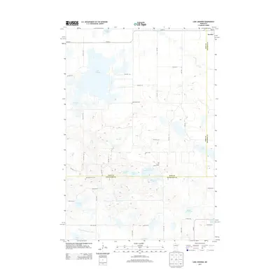
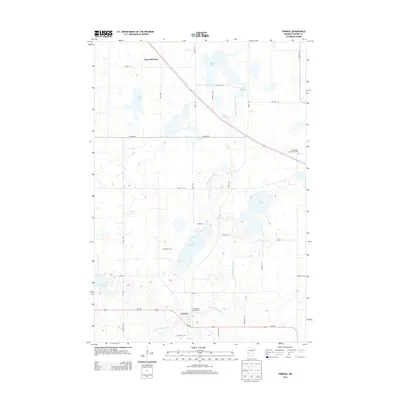
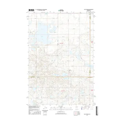
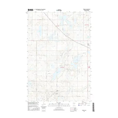
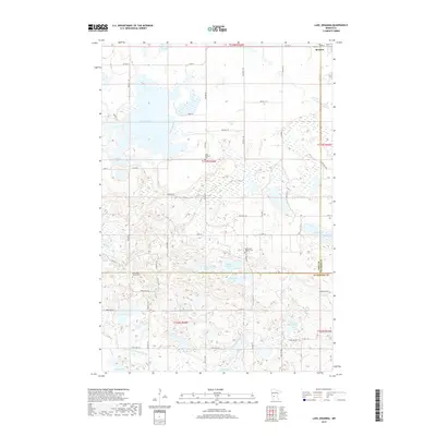
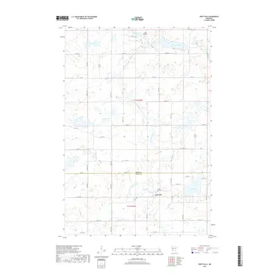
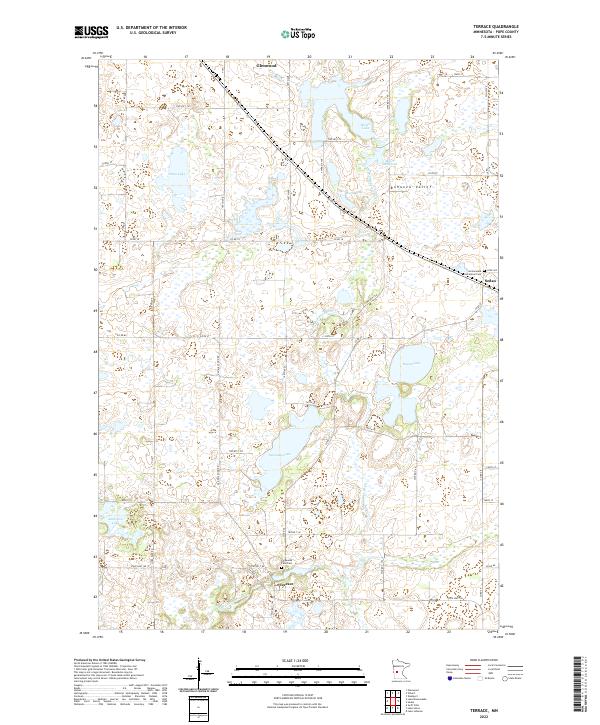
1968 Map of Terrace
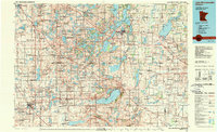
USGS Topo · Published 1991About this map
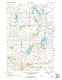
Terrace sits along the East Branch Chippewa River in this detailed 1960s study of Pope County's glaciated landscape. The area is defined by its complex hydrology, with numerous water bodies like Swenoda Lake, Marlu Lake, and Grove Lake providing a backdrop for the region's agricultural and conservation efforts. The Soo Line railroad traverses the northern portion of the map, a vital corridor for the local grain-and-rail economy of the mid-20th century.
Find a feature on this map
23 named features on this map. Tap any name to fly to it.
Don’t see what you’re looking for? This feature index may not catch every label — zoom into the map to look around manually.
Map Details
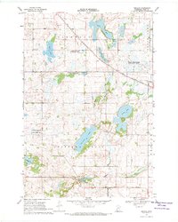
Editions of this 1968 Terrace Map
2 editions found
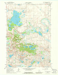
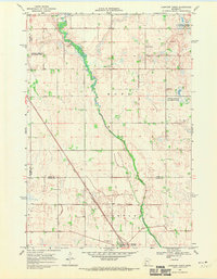
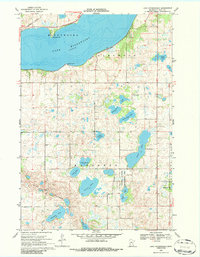
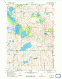
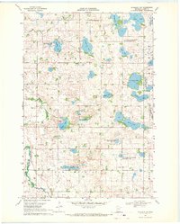
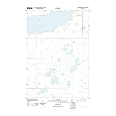
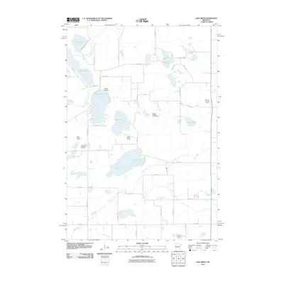
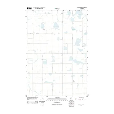
Historical Maps of Glenwood Through Time
49 maps found
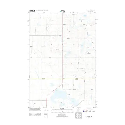
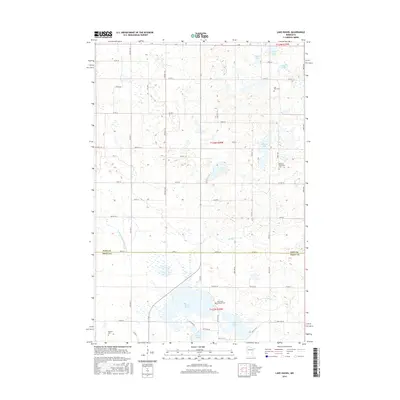
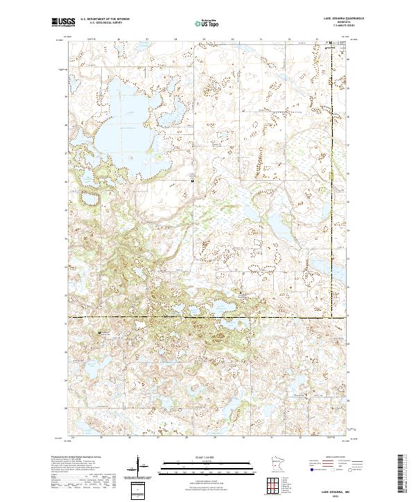
1967 Lake Johanna
Pope County, MN
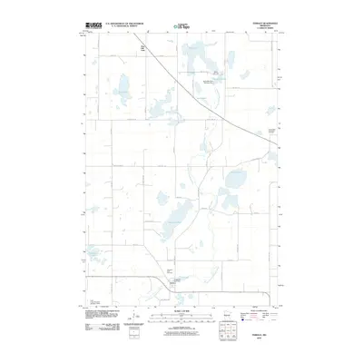
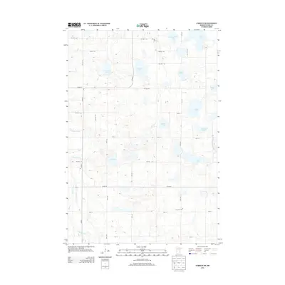
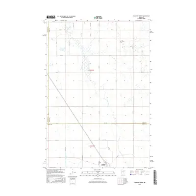
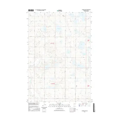
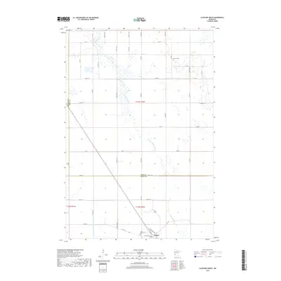
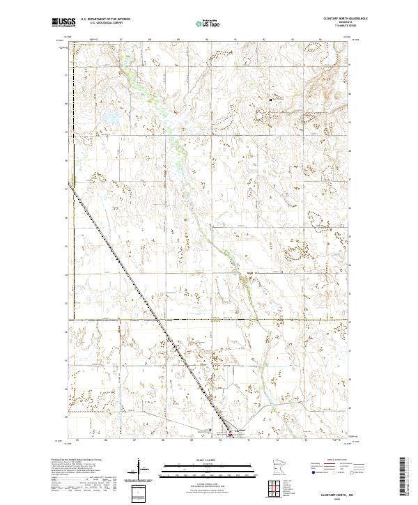
1968 Clontarf North
Pope County, MN
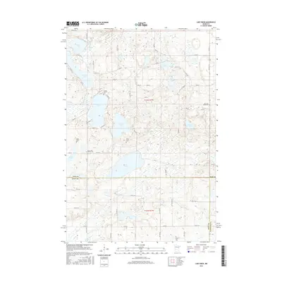
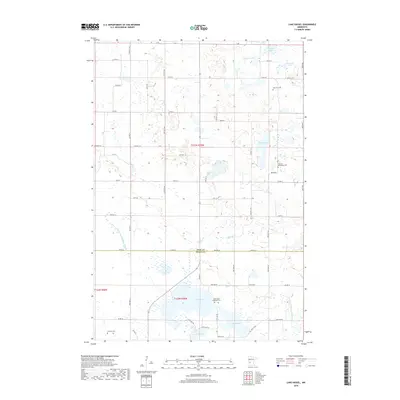
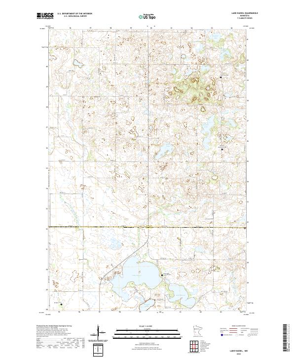
1968 Lake Hassel
Pope County, MN
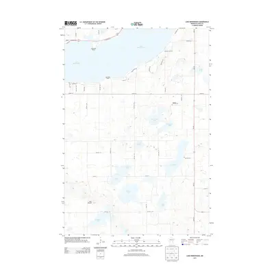
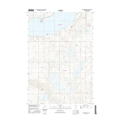
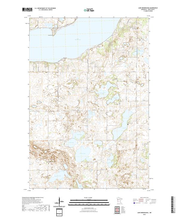
1968 Lake Minnewaska
Pope County, MN
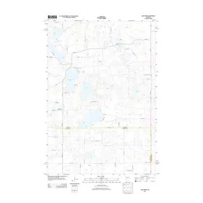
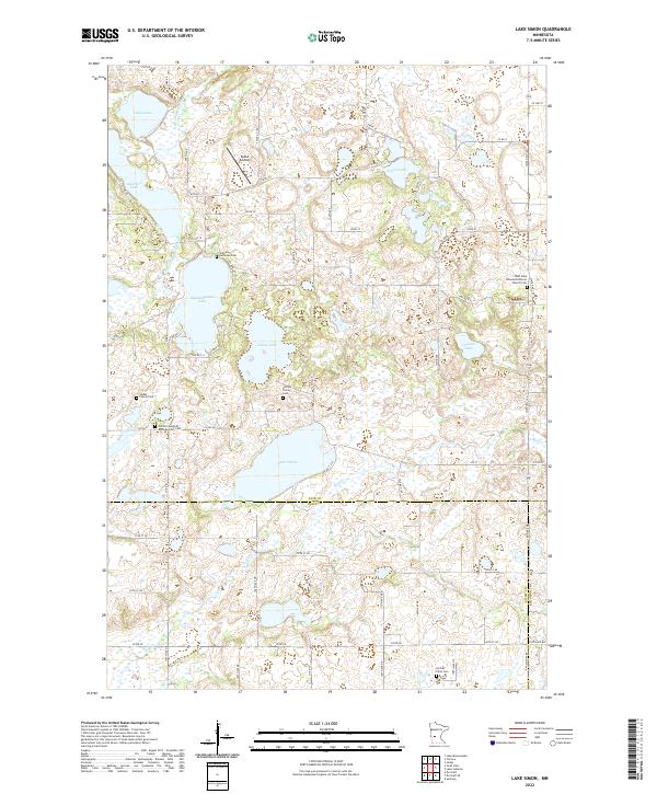
1968 Lake Simon
Pope County, MN
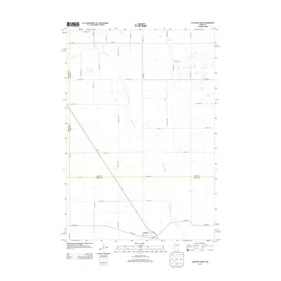
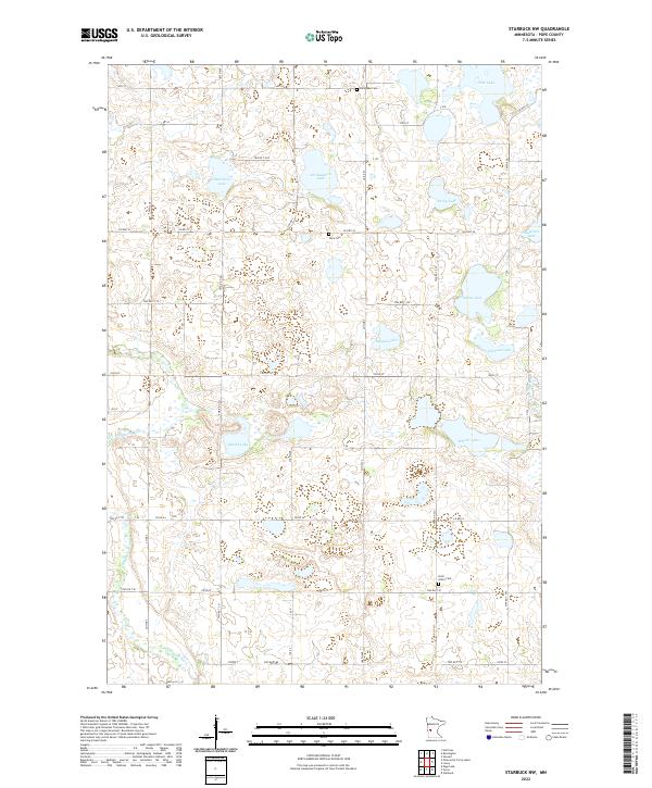
1968 Starbuck NW
Pope County, MN
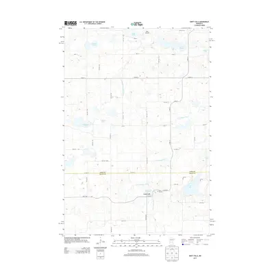
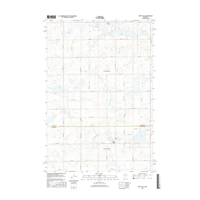
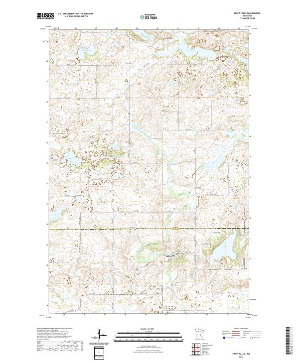
1968 Swift Falls
Pope County, MN
1968 Terrace
Pope County, MN
1986 Lake Minnewaska
Pope County, MN
2010 Clontarf North
Pope County, MN
2010 Lake Hassel
Pope County, MN
2010 Lake Johanna
Pope County, MN
2010 Lake Minnewaska
Pope County, MN
2010 Lake Simon
Pope County, MN
2010 Starbuck NW
Pope County, MN
2010 Swift Falls
Pope County, MN
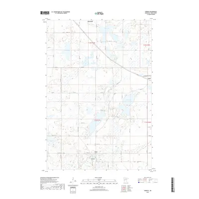
2010 Terrace
Pope County, MN
2013 Clontarf North
Pope County, MN
2013 Lake Hassel
Pope County, MN
2013 Lake Johanna
Pope County, MN
2013 Lake Minnewaska
Pope County, MN
2013 Lake Simon
Pope County, MN
2013 Starbuck NW
Pope County, MN
2013 Swift Falls
Pope County, MN
2013 Terrace
Pope County, MN
2016 Clontarf North
Pope County, MN
2016 Lake Hassel
Pope County, MN
2016 Lake Johanna
Pope County, MN
2016 Lake Minnewaska
Pope County, MN
2016 Lake Simon
Pope County, MN
2016 Starbuck NW
Pope County, MN
2016 Swift Falls
Pope County, MN
2016 Terrace
Pope County, MN
2019 Clontarf North
Pope County, MN
2019 Lake Hassel
Pope County, MN
2019 Lake Johanna
Pope County, MN
2019 Lake Minnewaska
Pope County, MN
2019 Lake Simon
Pope County, MN
2019 Starbuck NW
Pope County, MN
2019 Swift Falls
Pope County, MN
2019 Terrace
Pope County, MN
2022 Clontarf North
Pope County, MN
2022 Lake Hassel
Pope County, MN
2022 Lake Johanna
Pope County, MN
2022 Lake Minnewaska
Pope County, MN
2022 Lake Simon
Pope County, MN
2022 Starbuck NW
Pope County, MN
2022 Swift Falls
Pope County, MN
2022 Terrace
Pope County, MN