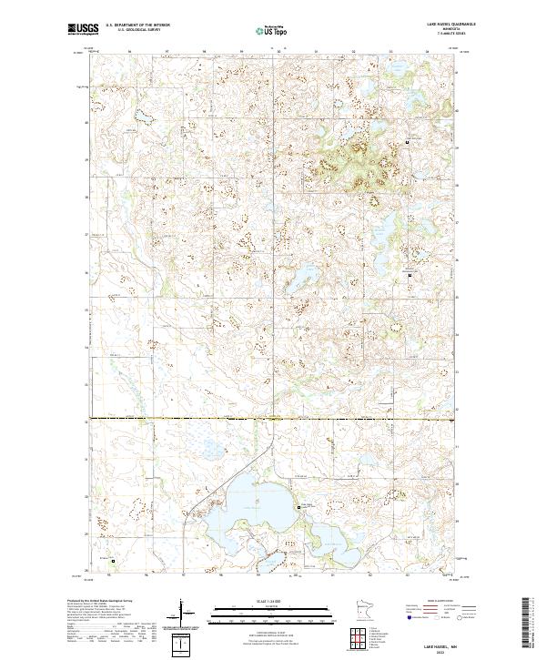
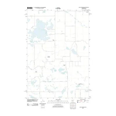
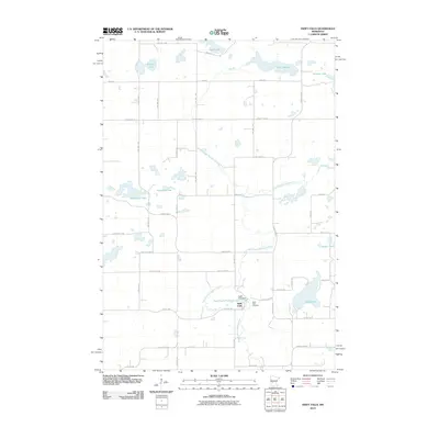
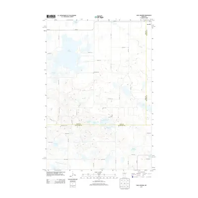
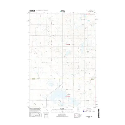
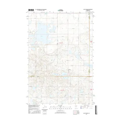
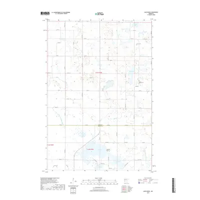
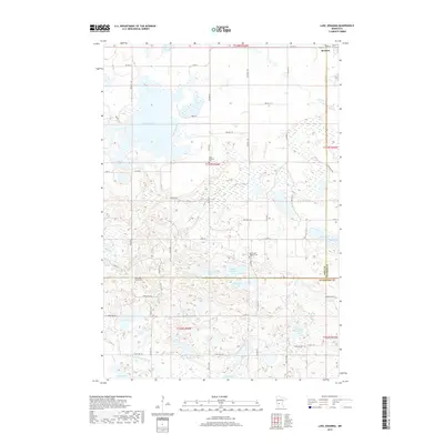
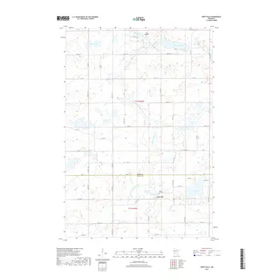
2022 Map of Lake Hassel
USGS Topo · Published 2022About this map
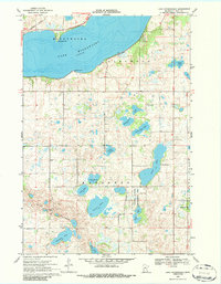
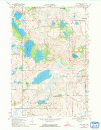
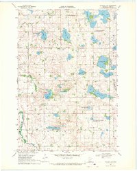
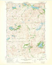
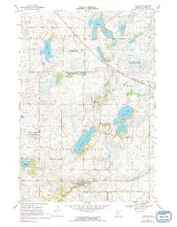
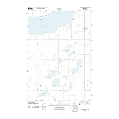
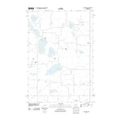
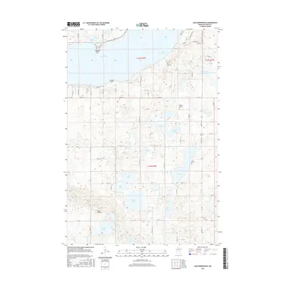
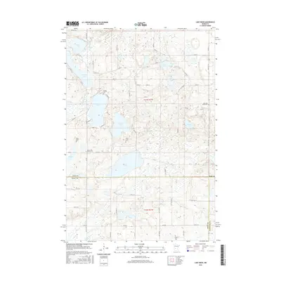
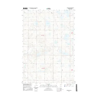
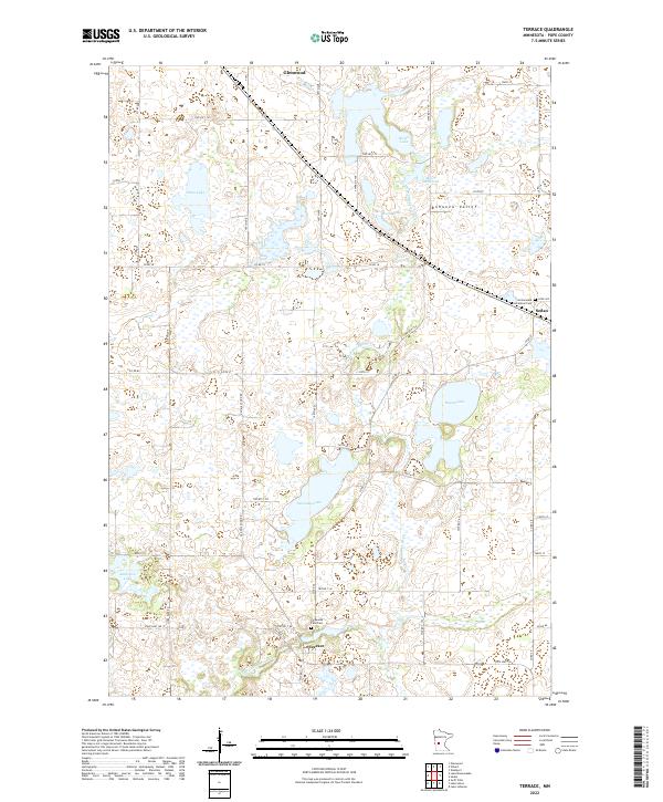
The glacial prairie landscape of Pope and Swift counties is defined by a dense network of kettle lakes and wetlands linked by man-made drainage systems. Large water bodies such as Lake Hassel and Lake Moore anchor the southern region, while smaller basins like Swan Lake and Thoralson Lake dot the north. The area's agricultural development is evident in the extensive water management infrastructure, including County Ditch Number Thirteen and County Ditch Number Eight, which channel water across the flat terrain. This survey provides significant value for genealogists and local historians, as it precisely locates several rural burial grounds. Notable sites include the Lake Hazel Lutheran Cemetery, East Zion Cemetery, and the Ellenson Mortenson Cemetery, each situated near long-established section lines and township roads.
Find a feature on this map
51 named features on this map. Tap any name to fly to it.
Don’t see what you’re looking for? This feature index may not catch every label — zoom into the map to look around manually.
Map Details
Editions of this 2022 Lake Hassel Map
This is the sole edition of this map. No revisions or reprints were ever made.
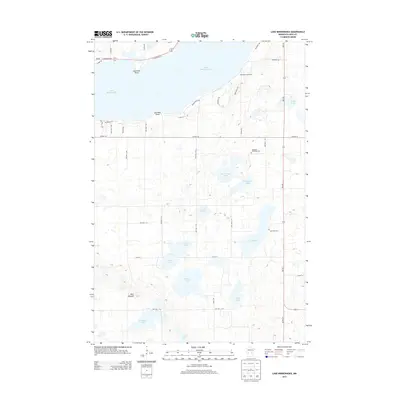
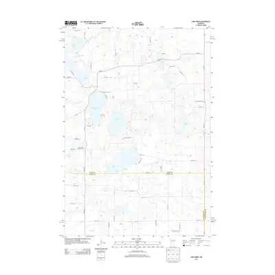
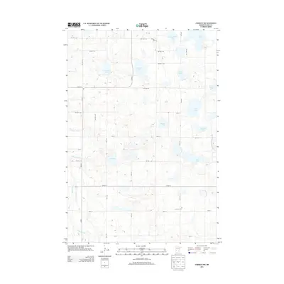
Historical Maps of Swift County Through Time
49 maps found
1967 Lake Johanna
Pope County, MN
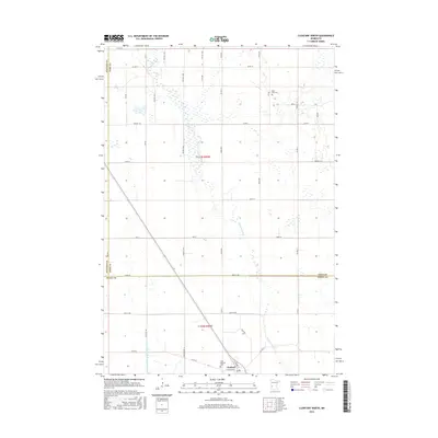
1968 Clontarf North
Pope County, MN
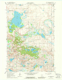
1968 Lake Hassel
Pope County, MN
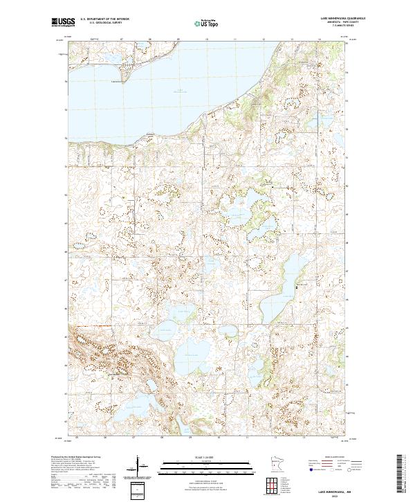
1968 Lake Minnewaska
Pope County, MN
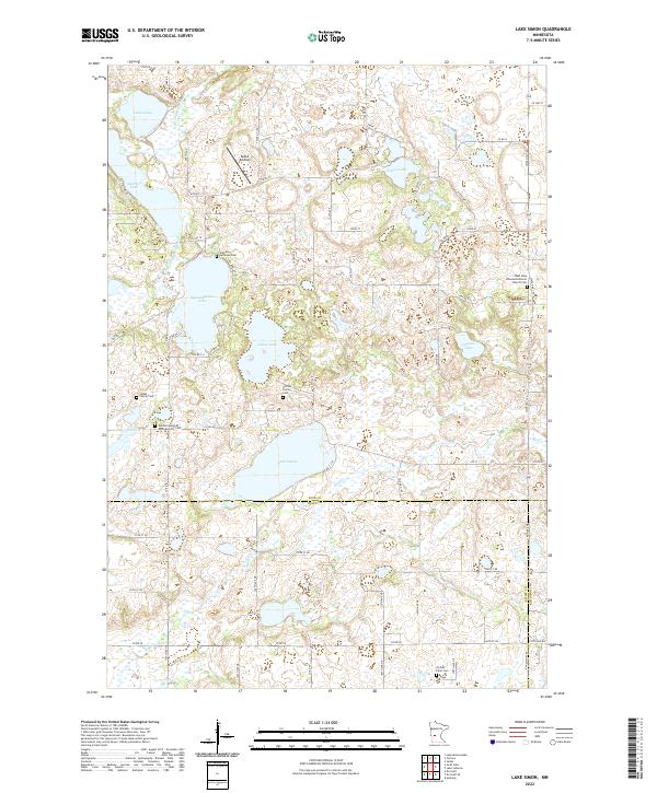
1968 Lake Simon
Pope County, MN
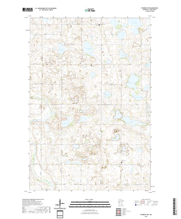
1968 Starbuck NW
Pope County, MN
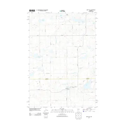
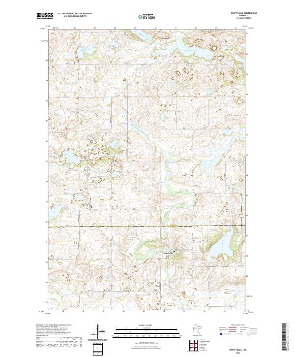
1968 Swift Falls
Pope County, MN
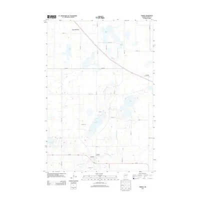
1968 Terrace
Pope County, MN
1986 Lake Minnewaska
Pope County, MN
2010 Clontarf North
Pope County, MN
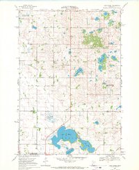
2010 Lake Hassel
Pope County, MN
2010 Lake Johanna
Pope County, MN
2010 Lake Minnewaska
Pope County, MN
2010 Lake Simon
Pope County, MN
2010 Starbuck NW
Pope County, MN
2010 Swift Falls
Pope County, MN
2010 Terrace
Pope County, MN
2013 Clontarf North
Pope County, MN
2013 Lake Hassel
Pope County, MN
2013 Lake Johanna
Pope County, MN
2013 Lake Minnewaska
Pope County, MN
2013 Lake Simon
Pope County, MN
2013 Starbuck NW
Pope County, MN
2013 Swift Falls
Pope County, MN
2013 Terrace
Pope County, MN
2016 Clontarf North
Pope County, MN
2016 Lake Hassel
Pope County, MN
2016 Lake Johanna
Pope County, MN
2016 Lake Minnewaska
Pope County, MN
2016 Lake Simon
Pope County, MN
2016 Starbuck NW
Pope County, MN
2016 Swift Falls
Pope County, MN
2016 Terrace
Pope County, MN
2019 Clontarf North
Pope County, MN
2019 Lake Hassel
Pope County, MN
2019 Lake Johanna
Pope County, MN
2019 Lake Minnewaska
Pope County, MN
2019 Lake Simon
Pope County, MN
2019 Starbuck NW
Pope County, MN
2019 Swift Falls
Pope County, MN
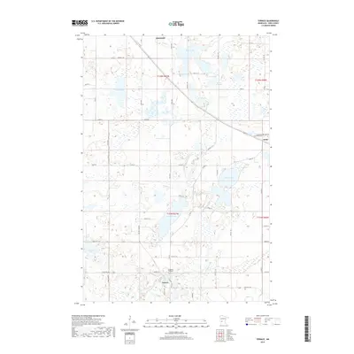
2019 Terrace
Pope County, MN
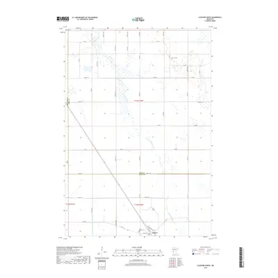
2022 Clontarf North
Pope County, MN
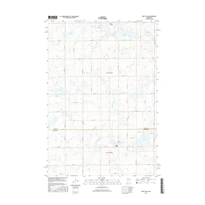
2022 Lake Hassel
Pope County, MN
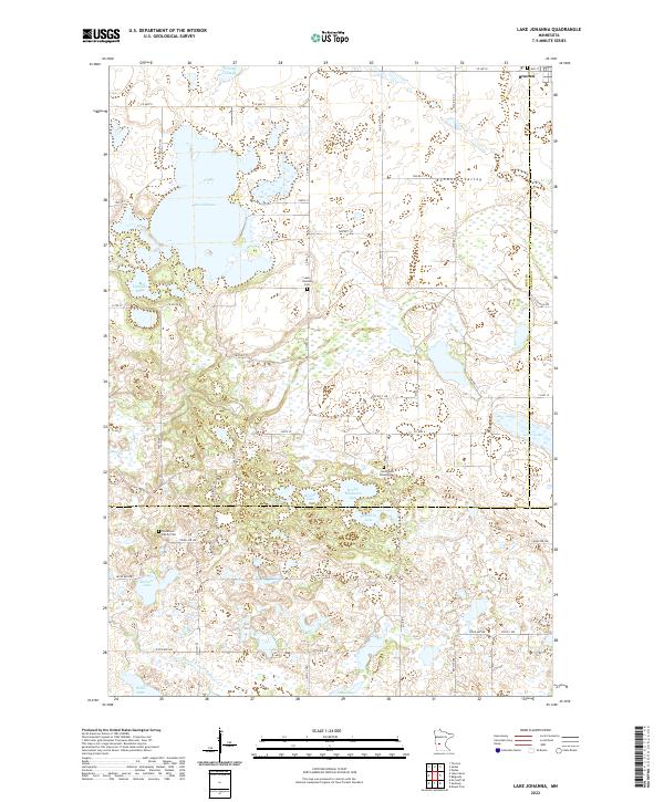
2022 Lake Johanna
Pope County, MN
2022 Lake Minnewaska
Pope County, MN
2022 Lake Simon
Pope County, MN
2022 Starbuck NW
Pope County, MN
2022 Swift Falls
Pope County, MN
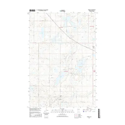
2022 Terrace
Pope County, MN