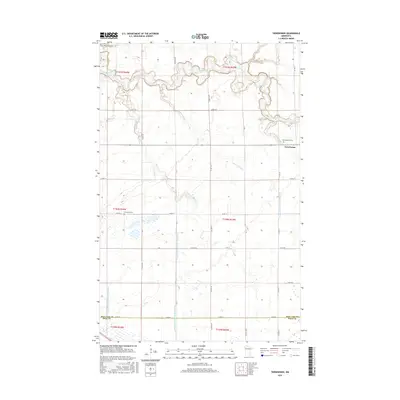
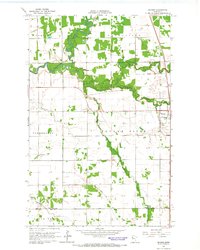
2016 Map of Terrebonne
USGS Topo · Published 2016About this map
Terrebonne sits at the junction of Terrebonne Cr and the winding Clearwater River, serving as a central point in this Red Lake County landscape. The map reveals an intricate drainage network essential for the region's agricultural productivity, including the extensive Judicial Ditch Number Sixtyseven and County Ditch Number Sixtyfour. These man-made channels reflect the early 20th-century efforts to manage the wetlands and prairies of northern Minnesota. For those tracing local heritage, the settlement is surrounded by significant community landmarks like Saint Anthony Cem and Evergreen Cem. The terrain is marked by the shifting paths of Beau Gerlot Cr and Lower Badger Cr, while the township boundaries of t150n r43w and t151n r44w organize the rural grid of farmsteads and county roads.
Find a feature on this map
33 named features on this map. Tap any name to fly to it.
Don’t see what you’re looking for? This feature index may not catch every label — zoom into the map to look around manually.
Map Details
Editions of this 2016 Terrebonne Map
This is the sole edition of this map. No revisions or reprints were ever made.
Other maps of this area
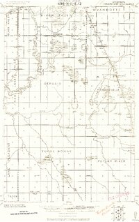
1918 · Terrebonne
USGS Topo · 1:62,500
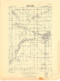
1918 · Red Lake Falls
USGS Topo · 1:62,500
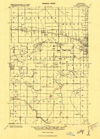
1919 · Valley
USGS Topo · 1:62,500
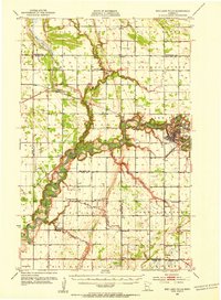
1952 · Red Lake Falls
USGS Topo · 1:62,500

1952 · Grand Forks
USGS Topo · 1:250,000

1956 · Grand Forks
USGS Topo · 1:250,000
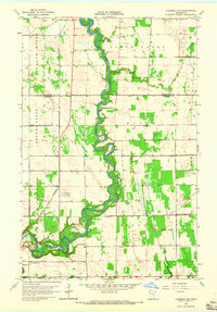
1964 · Plummer NW
USGS Topo · 1:24,000
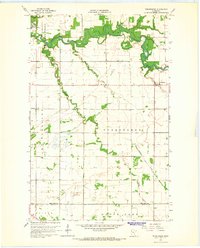
1964 · Terrebonne
USGS Topo · 1:24,000
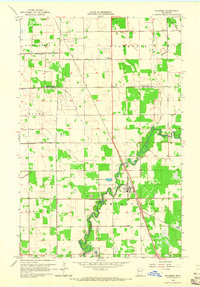
1964 · Plummer
USGS Topo · 1:24,000
1964 · Brooks
USGS Topo · 1:24,000