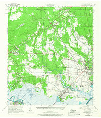
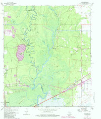
1957 Map of Terry
USGS Topo · Published 1986About this map
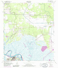
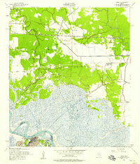
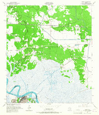
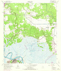
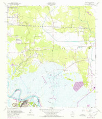
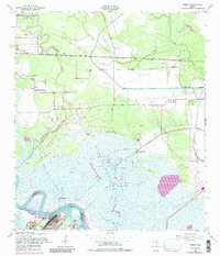
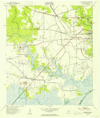
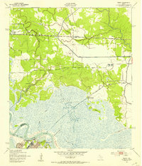
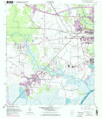
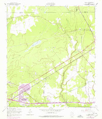
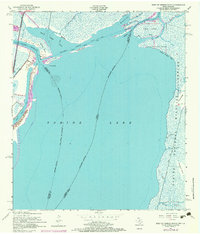
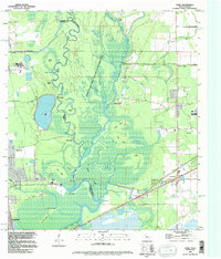
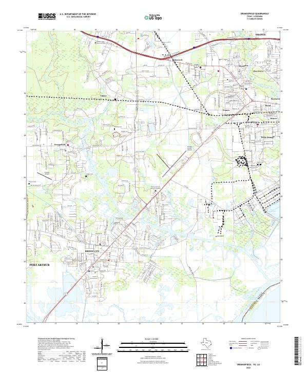
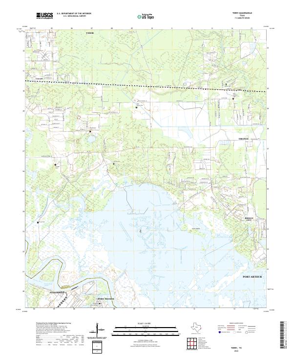
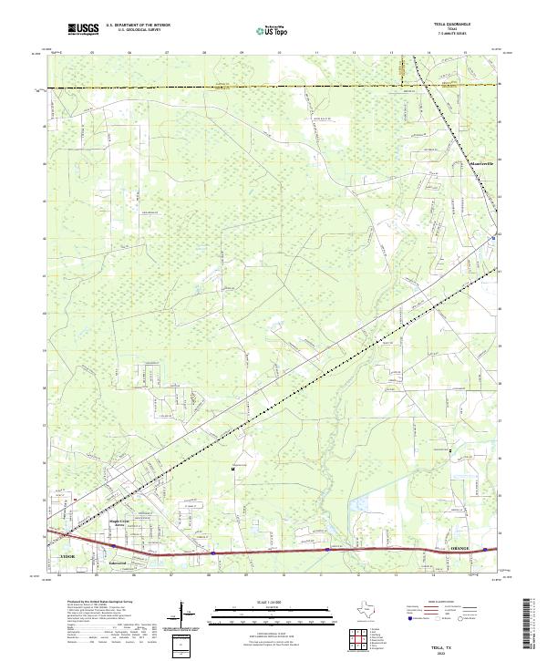
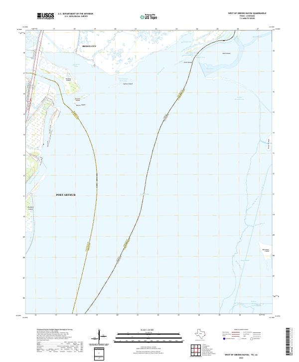
The Southern Pacific railroad corridor anchors the northern landscape of this coastal Texas region, connecting the small communities of Connell, Terry, and Oilla. To the south, the industrial character of the mid-20th century Gulf Coast is evident in the expansive Bessie Heights Oil and Gas Field and the large Oil Refinery located along the Neches River. The terrain is defined by a complex network of wetlands and tidal channels, including Bessie Bayou and Bird Island Bayou, which wrap around landforms like Gum Island. Local family history is preserved in several small burial sites scattered across the higher ground, such as Wallace Cem, Williams Cem, and Stephenson Cem. Near the river, the Oak Bluff Memorial Park and the Smith Bluff Cutoff mark the transition from the marshes to the developed industrial riverfront.
Find a feature on this map
28 named features on this map. Tap any name to fly to it.
Don’t see what you’re looking for? This feature index may not catch every label — zoom into the map to look around manually.
Map Details
Editions of this 1957 Terry Map
6 editions found
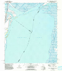
Historical Maps of Port Arthur Through Time
20 maps found

1926 Lakeview
Orange County, TX

1926 Terry
Orange County, TX

1926 Texla
Orange County, TX
1943 Orangefield
Orange County, TX
1943 Terry
Orange County, TX

1943 Texla
Orange County, TX

1943 West of Greens Bayou
Orange County, TX
1957 Orangefield
Orange County, TX
1957 Orangefield
Orange County, TX
1957 Terry
Orange County, TX
1957 Texla
Orange County, TX
1957 West of Greens Bayou
Orange County, TX
1960 Echo
Orange County, TX
1993 West of Greens Bayou
Orange County, TX
1994 Echo
Orange County, TX
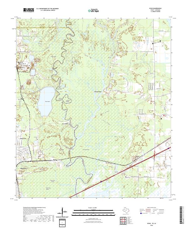
2022 Echo
Orange County, TX
2022 Orangefield
Orange County, TX
2022 Terry
Orange County, TX
2022 Texla
Orange County, TX
2022 West of Greens Bayou
Orange County, TX