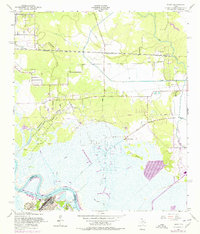
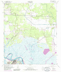
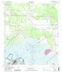
1957 Map of Terry
USGS Topo · Published 1979About this map
Industrial energy and coastal marshlands converge along the Orange Co Jefferson Co line, where the Neches River bends sharply near Bessie Heights. The landscape is defined by the extensive Bessie Heights Oil and Gas Field, characterized by a network of canals and pipelines that navigate the low-lying terrain near Gum Island and Grays Bayou. Along the southern bank, the prominent Oil Refinery and Oak Bluff Memorial Park sit near the Smith Bluff Cutoff, marking a shift from rural wetlands to heavy industry. Transport in the northern section is anchored by the Southern Pacific railroad, which passes through the small settlements of Terry, Connell, and Oilla. For genealogists, the map is particularly detailed, recording numerous family-named burial sites such as Stephenson Cem, Adcock Cem, Wallace Cem, and Williams Cem.
Find a feature on this map
26 named features on this map. Tap any name to fly to it.
Don’t see what you’re looking for? This feature index may not catch every label — zoom into the map to look around manually.
Map Details
Editions of this 1957 Terry Map
6 editions found
Other maps of this area

1926 · Terry
USGS Topo · 1:24,000

1926 · Lakeview
USGS Topo · 1:24,000

1926 · Vidor
USGS Topo · 1:24,000

1926 · Texla
USGS Topo · 1:24,000

1926 · Mauriceville
USGS Topo · 1:24,000

1932 · Beaumont
USGS Topo · 1:62,500

1932 · Port Arthur NE
USGS Topo · 1:31,680

1943 · West of Greens Bayou
USGS Topo · 1:24,000

1943 · Orangefield
USGS Topo · 1:24,000

1943 · Mauriceville
USGS Topo · 1:24,000