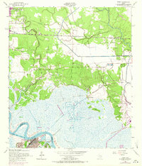
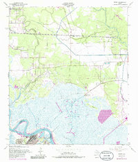
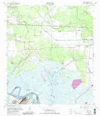
1957 Map of Terry
USGS Topo · Published 1971About this map
Industrial expansion and marshy lowlands define this survey of the Texas coast, where the Bessie Heights Oil and Gas Field dominates the landscape north of the Neches River. The terrain is a complex network of waterways including Anderson Gully, Cow Bayou, and the Bessie Heights Canal, which cuts through the wetlands toward Bessie Heights. Along the southern edge, the industrial footprint is marked by a large Oil Refinery at Smith Bluff, reflecting the region's mid-century petroleum boom.
Find a feature on this map
30 named features on this map. Tap any name to fly to it.
Don’t see what you’re looking for? This feature index may not catch every label — zoom into the map to look around manually.
Map Details
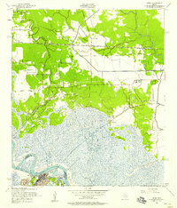
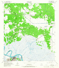
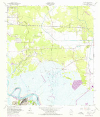
Editions of this 1957 Terry Map
6 editions found
Other maps of this area

1926 · Terry
USGS Topo · 1:24,000

1926 · Lakeview
USGS Topo · 1:24,000

1926 · Vidor
USGS Topo · 1:24,000

1926 · Texla
USGS Topo · 1:24,000

1926 · Mauriceville
USGS Topo · 1:24,000

1932 · Beaumont
USGS Topo · 1:62,500

1932 · Port Arthur NE
USGS Topo · 1:31,680

1943 · West of Greens Bayou
USGS Topo · 1:24,000

1943 · Orangefield
USGS Topo · 1:24,000

1943 · Mauriceville
USGS Topo · 1:24,000