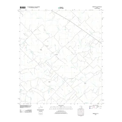
2010 Map of Terryville
USGS Topo · Published 2010About this map
Terryville serves as the central hub of this South Texas landscape, where the rural character is defined by a dense network of watercourses and family-linked landmarks. The drainage of Big Brushy Creek and its many tributaries, including Little Brushy Creek and Tonqua Creek, dictates the placement of early roads and settlements. For genealogists, the map preserves the locations of several burial grounds, such as the County Line Cemetery, Cook Holland Cemetery, and the Terryville Cemetery located south of the main community.
Find a feature on this map
34 named features on this map. Tap any name to fly to it.
Don’t see what you’re looking for? This feature index may not catch every label — zoom into the map to look around manually.
Map Details
Editions of this 2010 Terryville Map
This is the sole edition of this map. No revisions or reprints were ever made.
Other maps of this area

1953 · Seguin
USGS Topo · 1:250,000

1958 · Seguin
USGS Topo · 1:250,000

1962 · Verhelle
USGS Topo · 1:24,000

1962 · Edgar
USGS Topo · 1:24,000

1962 · Terryville
USGS Topo · 1:24,000

1963 · Yoakum
USGS Topo · 1:24,000

1963 · Fordtran
USGS Topo · 1:24,000

1963 · Sweet Home
USGS Topo · 1:24,000

1964 · Ezzell
USGS Topo · 1:24,000

1965 · Hope
USGS Topo · 1:24,000