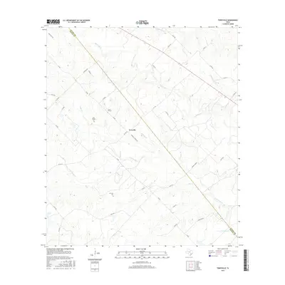
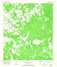
2016 Map of Terryville
USGS Topo · Published 2016About this map
Terryville sits at the heart of this landscape along the border of Lavaca Co and DeWitt Co. The terrain is defined by a dense network of tributaries including Big Brushy Cr and Little Brushy Cr, which cut through the undulating plains north of Carroll Lake. This 2016 survey documents the rural character of South Texas, where family and community heritage is preserved in sites like the Cook-Holland Cem and the Terryville Cem. The infrastructure follows a pattern of local farm-to-market roads, such as FM 682 and FM 1447, which connect the scattered homesteads. These routes often follow the high ground between creek beds like Tonqua Cr and Bear Cr, reflecting an enduring ranching and agricultural layout where church roads and country lanes provide the primary access to interior holdings.
Find a feature on this map
41 named features on this map. Tap any name to fly to it.
Don’t see what you’re looking for? This feature index may not catch every label — zoom into the map to look around manually.
Map Details
Editions of this 2016 Terryville Map
This is the sole edition of this map. No revisions or reprints were ever made.
Other maps of this area

1953 · Seguin
USGS Topo · 1:250,000

1958 · Seguin
USGS Topo · 1:250,000
1962 · Verhelle
USGS Topo · 1:24,000
1962 · Edgar
USGS Topo · 1:24,000
1962 · Terryville
USGS Topo · 1:24,000
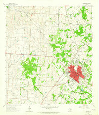
1963 · Yoakum
USGS Topo · 1:24,000
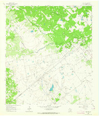
1963 · Fordtran
USGS Topo · 1:24,000
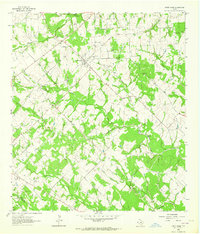
1963 · Sweet Home
USGS Topo · 1:24,000
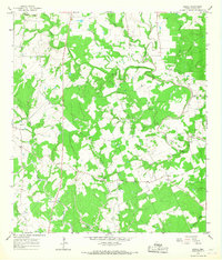
1964 · Ezzell
USGS Topo · 1:24,000
1965 · Hope
USGS Topo · 1:24,000