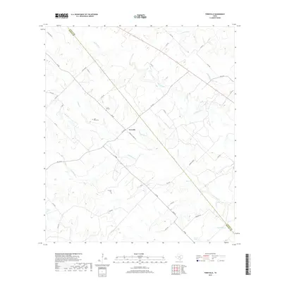
2019 Map of Terryville
USGS Topo · Published 2019About this map
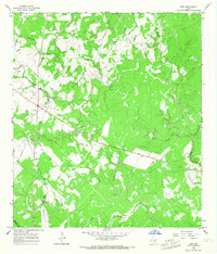
Terryville sits at the intersection of farm roads in this rural portion of DeWitt County, defined by a landscape of creeks and small family cemeteries. The settlement pattern here is deeply connected to the local hydrology, with Big Brushy Cr and Little Brushy Cr carving through the terrain alongside Tonqua Cr and Bear Cr. Genealogists will find several burial sites including Terryville Cem, County Line Cem, and the Cook- Holland Cem near the Lavaca County line. These landmarks, along with Hebron Church, represent the community anchors in a region dominated by agricultural tracts and ranch roads. The presence of Carroll Lake in the southern section provides a significant water feature amidst the network of drainage branches like Dry Hollow Br and Williams Br.
Find a feature on this map
42 named features on this map. Tap any name to fly to it.
Don’t see what you’re looking for? This feature index may not catch every label — zoom into the map to look around manually.
Map Details
Editions of this 2019 Terryville Map
This is the sole edition of this map. No revisions or reprints were ever made.
Other maps of this area

1953 · Seguin
USGS Topo · 1:250,000

1958 · Seguin
USGS Topo · 1:250,000
1962 · Verhelle
USGS Topo · 1:24,000
1962 · Edgar
USGS Topo · 1:24,000
1962 · Terryville
USGS Topo · 1:24,000
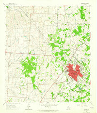
1963 · Yoakum
USGS Topo · 1:24,000
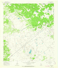
1963 · Fordtran
USGS Topo · 1:24,000
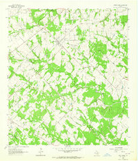
1963 · Sweet Home
USGS Topo · 1:24,000
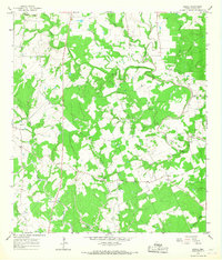
1964 · Ezzell
USGS Topo · 1:24,000
1965 · Hope
USGS Topo · 1:24,000