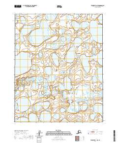
2020 Map of Teshekpuk A-1 NW
USGS Topo · Published 2020About this map
Inieok Creek winds through the northwestern corner of this Alaskan landscape, reflecting the intricate network of water and wetlands that dominates the North Slope. Surveyed by the U.S. Geological Survey using 2010 imagery and National Hydrography Dataset records from 2002 to 2018, the map illustrates a terrain defined by shifting shorelines and shallow basins. The grid lines for t10n r7w and t9n r6w delineate the vast Public Land Survey System divisions in this undeveloped region, where the primary geographical markers are the water bodies themselves. This 2020 edition provides a precise view of the hydrology and topographic contours of the Arctic coastal plain just prior to the current decade.
Find a feature on this map
5 named features on this map. Tap any name to fly to it.
Don’t see what you’re looking for? This feature index may not catch every label — zoom into the map to look around manually.
Map Details
Editions of this 2020 Teshekpuk A-1 NW Map
This is the sole edition of this map. No revisions or reprints were ever made.
Other maps of this area

1951 · Teshekpuk
USGS Topo · 1:250,000

1955 · Teshekpuk
USGS Topo · 1:250,000
1955 · Teshekpuk A-2
USGS Topo · 1:63,360

1955 · Teshekpuk A-1
USGS Topo · 1:63,360
1955 · Teshekpuk B-2
USGS Topo · 1:63,360

1955 · Teshekpuk B-1
USGS Topo · 1:63,360

1964 · Teshekpuk
USGS Topo · 1:250,000
1982 · Teshekpuk B-2
USGS Topo · 1:63,360
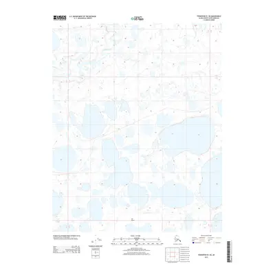
2013 · Teshekpuk B-1 SE
USGS Topo · 1:25,000
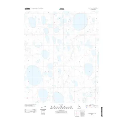
2013 · Teshekpuk B-2 SE
USGS Topo · 1:25,000