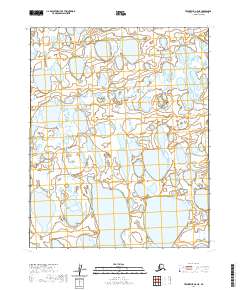
2020 Map of Teshekpuk A-5 NE
USGS Topo · Published 2020About this map
Hydrological patterns dominate this Arctic landscape, where an intricate network of thaw lakes and ponds stretches across the North Slope. These water bodies, varying from small pools to significant elongated lakes, are set within the vast wetlands of the coastal plain. The terrain is organized by the Public Land Survey System, with the map covering the intersection of T10n R15w, T10n R14w, T9n R15w, and T9n R14w. There are no named settlements, roads, or structures on this remote section of the borough, reflecting a pristine environment defined entirely by its complex drainage and permafrost-influenced geography. The high density of water features illustrates the unique geomorphology of this high-latitude region during the early twenty-first century.
Find a feature on this map
4 named features on this map. Tap any name to fly to it.
Don’t see what you’re looking for? This feature index may not catch every label — zoom into the map to look around manually.
Map Details
Editions of this 2020 Teshekpuk A-5 NE Map
This is the sole edition of this map. No revisions or reprints were ever made.
Other maps of this area

1951 · Teshekpuk
USGS Topo · 1:250,000

1955 · Teshekpuk
USGS Topo · 1:250,000
1955 · Teshekpuk B-4
USGS Topo · 1:63,360
1955 · Teshekpuk A-5
USGS Topo · 1:63,360
1955 · Teshekpuk A-4
USGS Topo · 1:63,360
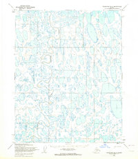
1955 · Teshekpuk B-5
USGS Topo · 1:63,360

1964 · Teshekpuk
USGS Topo · 1:250,000
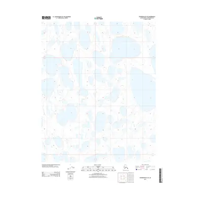
2013 · Teshekpuk B-5 SE
USGS Topo · 1:25,000
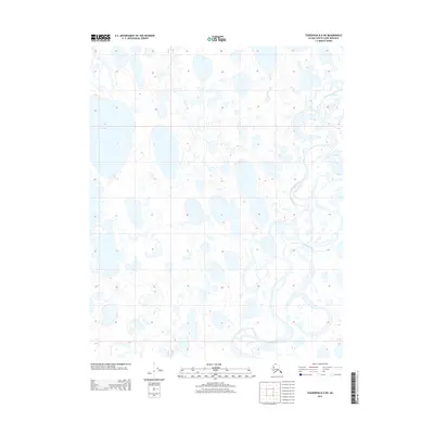
2013 · Teshekpuk B-4 SW
USGS Topo · 1:25,000
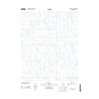
2013 · Teshekpuk B-5 SW
USGS Topo · 1:25,000