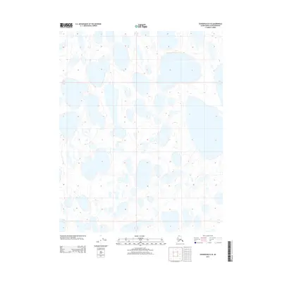
2013 Map of Teshekpuk B-5 SE
USGS Topo · Published 2013About this map
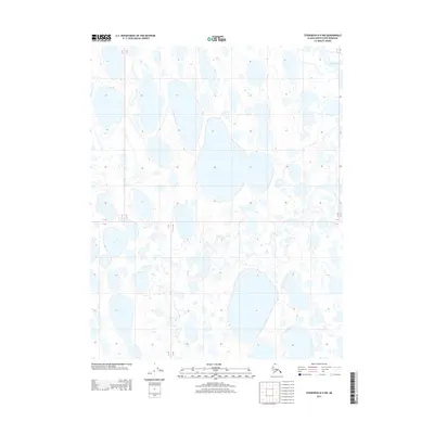
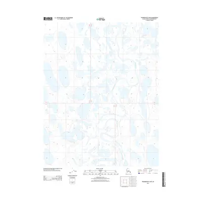
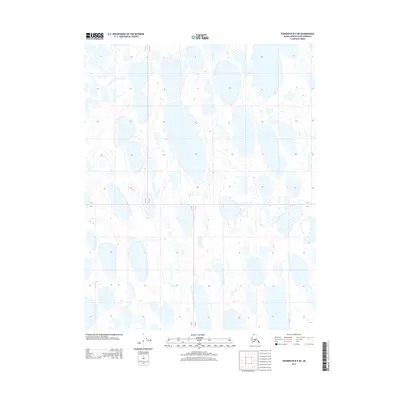
Arctic tundra and a complex network of thermokarst lakes define this portion of the North Slope, mapped by the U.S. Geological Survey in 2013. The landscape is marked by the distinct geometry of the Public Land Survey System, which divides this vast, water-heavy terrain into township and range blocks. Survey lines such as the boundary between T 12 N and T 11 N and the meridian between R 15 W and R 14 W provide the only structural markers across a region otherwise dominated by seasonal hydrography. The map illustrates the characteristic orientation of elongated lakes and drainage patterns common in these high-latitude coastal plains, where permafrost and seasonal cycles shape the earth's surface.
Find a feature on this map
3 named features on this map. Tap any name to fly to it.
Don’t see what you’re looking for? This feature index may not catch every label — zoom into the map to look around manually.
Map Details
Editions of this 2013 Teshekpuk B-5 SE Map
This is the sole edition of this map. No revisions or reprints were ever made.
Other maps of this area
1951 · Teshekpuk
USGS Topo · 1:250,000
1955 · Teshekpuk
USGS Topo · 1:250,000
1955 · Teshekpuk B-4
USGS Topo · 1:63,360
1955 · Teshekpuk A-5
USGS Topo · 1:63,360
1955 · Teshekpuk A-4
USGS Topo · 1:63,360
1955 · Teshekpuk B-5
USGS Topo · 1:63,360
1964 · Teshekpuk
USGS Topo · 1:250,000
2013 · Teshekpuk B-4 NW
USGS Topo · 1:25,000
2013 · Teshekpuk B-5 NW
USGS Topo · 1:25,000
2013 · Teshekpuk B-5 NE
USGS Topo · 1:25,000