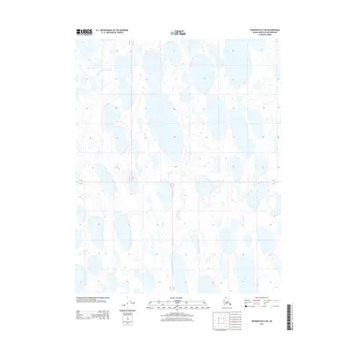
2013 Map of Teshekpuk B-5 NE
USGS Topo · Published 2013About this map
Glacial thermokarst lakes and complex hydrological patterns dominate this Arctic coastal plain landscape within the North Slope Borough. Located in a region defined by permafrost, the terrain is characterized by hundreds of oriented lakes and marshy basins that shift over decades as ice-rich ground thaws and collapses. This survey provides a baseline of the shoreline geometry and drainage networks during the early 21st century. The map depicts the Public Land Survey System grid lines for T 13 N T 12 N and R 15 W R 14 W, illustrating how the township and range system was superimposed over this saturated, roadless wilderness. The lack of named human settlements or infrastructure emphasizes the region's character as a remote ecological environment, where water bodies are the primary geographical features.
Find a feature on this map
2 named features on this map. Tap any name to fly to it.
Don’t see what you’re looking for? This feature index may not catch every label — zoom into the map to look around manually.
Map Details
Editions of this 2013 Teshekpuk B-5 NE Map
This is the sole edition of this map. No revisions or reprints were ever made.
Other maps of this area
1951 · Teshekpuk
USGS Topo · 1:250,000
1955 · Teshekpuk
USGS Topo · 1:250,000
1955 · Teshekpuk B-4
USGS Topo · 1:63,360
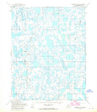
1955 · Teshekpuk C-5
USGS Topo · 1:63,360
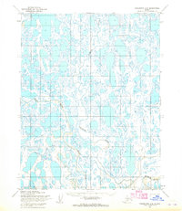
1955 · Teshekpuk C-4
USGS Topo · 1:63,360
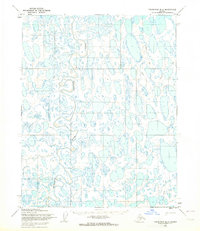
1955 · Teshekpuk B-5
USGS Topo · 1:63,360
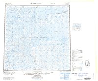
1964 · Teshekpuk
USGS Topo · 1:250,000
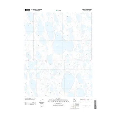
2013 · Teshekpuk B-4 NW
USGS Topo · 1:25,000
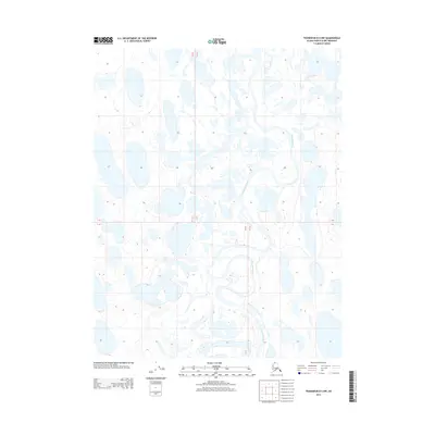
2013 · Teshekpuk B-5 NW
USGS Topo · 1:25,000
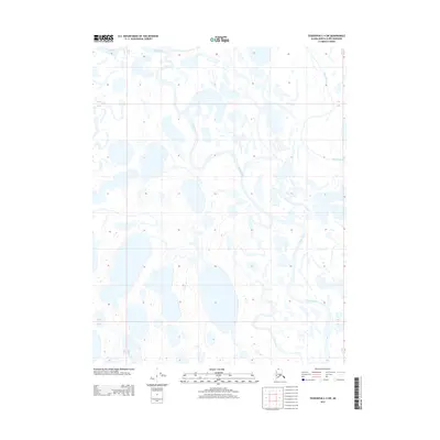
2013 · Teshekpuk C-4 SW
USGS Topo · 1:25,000