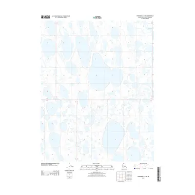
2013 Map of Teshekpuk B-4 NW
USGS Topo · Published 2013About this map
The Chipp River winds through the North Slope of Alaska, as documented in this 2013 topographic survey. This area consists primarily of the Arctic coastal plain, where the flat terrain is saturated with an array of thaw lakes and ponds formed by the underlying permafrost. Hydrologists and environmental researchers can observe the specific drainage patterns and the relationship between the Chipp River and the surrounding wetland complexes. The map reflects the state of this northern landscape at a specific point in time, offering a clear record of natural features without the presence of permanent settlements or significant industrial infrastructure. It provides essential data for understanding the geomorphology of this high-latitude region.
Find a feature on this map
4 named features on this map. Tap any name to fly to it.
Don’t see what you’re looking for? This feature index may not catch every label — zoom into the map to look around manually.
Map Details
Editions of this 2013 Teshekpuk B-4 NW Map
This is the sole edition of this map. No revisions or reprints were ever made.
Other maps of this area

1951 · Teshekpuk
USGS Topo · 1:250,000

1955 · Teshekpuk
USGS Topo · 1:250,000
1955 · Teshekpuk B-4
USGS Topo · 1:63,360

1955 · Teshekpuk C-5
USGS Topo · 1:63,360

1955 · Teshekpuk C-4
USGS Topo · 1:63,360
1955 · Teshekpuk B-5
USGS Topo · 1:63,360

1964 · Teshekpuk
USGS Topo · 1:250,000
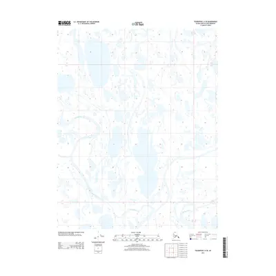
2013 · Teshekpuk C-4 SE
USGS Topo · 1:25,000
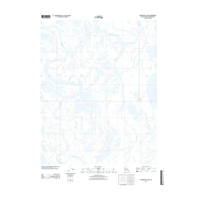
2013 · Teshekpuk B-4 NE
USGS Topo · 1:25,000
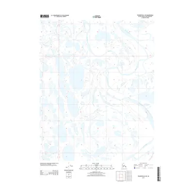
2013 · Teshekpuk B-4 SE
USGS Topo · 1:25,000