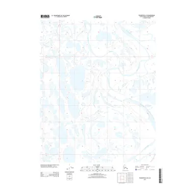
2013 Map of Teshekpuk B-4 SE
USGS Topo · Published 2013About this map
The Ikpikpuk River and its braided tributaries define this portion of the North Slope, revealing a landscape dominated by Arctic hydrology in the early twenty-first century. As the river systems migrate across the low-lying terrain, they leave behind a complex network of thaw lakes and ephemeral channels. The Chipp River and Oumalik River intersect this area, showing the intricate drainage patterns characteristic of the region. This 2013 survey provides a detailed record of the shifting water bodies and river alignments, which are vital for understanding environmental change and navigating the remote northern coastal plain.
Find a feature on this map
6 named features on this map. Tap any name to fly to it.
Don’t see what you’re looking for? This feature index may not catch every label — zoom into the map to look around manually.
Map Details
Editions of this 2013 Teshekpuk B-4 SE Map
This is the sole edition of this map. No revisions or reprints were ever made.
Other maps of this area

1951 · Teshekpuk
USGS Topo · 1:250,000

1955 · Teshekpuk
USGS Topo · 1:250,000
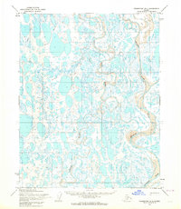
1955 · Teshekpuk B-4
USGS Topo · 1:63,360
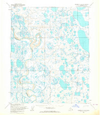
1955 · Teshekpuk A-3
USGS Topo · 1:63,360
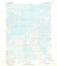
1955 · Teshekpuk B-3
USGS Topo · 1:63,360
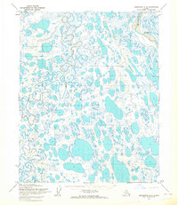
1955 · Teshekpuk A-4
USGS Topo · 1:63,360

1964 · Teshekpuk
USGS Topo · 1:250,000
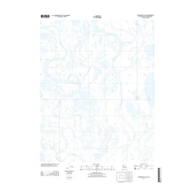
2013 · Teshekpuk B-4 NE
USGS Topo · 1:25,000
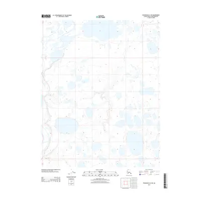
2013 · Teshekpuk B-3 SW
USGS Topo · 1:25,000
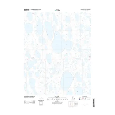
2013 · Teshekpuk B-4 NW
USGS Topo · 1:25,000