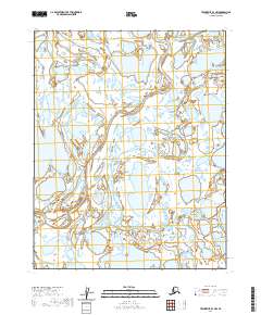
2020 Map of Teshekpuk B-3 NW
USGS Topo · Published 2020About this map
Hydrological patterns of the North Slope dominate this 2020 topographic study, which illustrates a complex network of thaw lakes and wetlands typical of the Alaskan Arctic. The landscape is organized by the Public Land Survey System, with boundaries clearly delineated for T13n R11w, T13n R10w, and T12n R11w. These township and range designations provide the primary navigational framework for an area devoid of roads or permanent settlements. The high-resolution contours and hydrographic data, sourced from the National Hydrography Dataset and National Elevation Dataset, reveal the subtle relief of this coastal plain. The distribution of water bodies across T12n R12w and T12n R10w reflects the dynamic nature of permafrost-driven terrain, offering researchers a precise look at the drainage and surface water conditions in the early 21st century.
Find a feature on this map
5 named features on this map. Tap any name to fly to it.
Don’t see what you’re looking for? This feature index may not catch every label — zoom into the map to look around manually.
Map Details
Editions of this 2020 Teshekpuk B-3 NW Map
This is the sole edition of this map. No revisions or reprints were ever made.
Other maps of this area

1951 · Teshekpuk
USGS Topo · 1:250,000

1955 · Teshekpuk
USGS Topo · 1:250,000
1955 · Teshekpuk B-4
USGS Topo · 1:63,360
1955 · Teshekpuk B-3
USGS Topo · 1:63,360

1955 · Teshekpuk C-3
USGS Topo · 1:63,360

1955 · Teshekpuk C-4
USGS Topo · 1:63,360

1964 · Teshekpuk
USGS Topo · 1:250,000
2013 · Teshekpuk C-4 SE
USGS Topo · 1:25,000
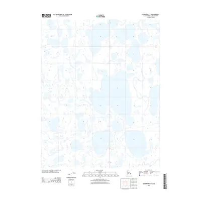
2013 · Teshekpuk C-3 SE
USGS Topo · 1:25,000
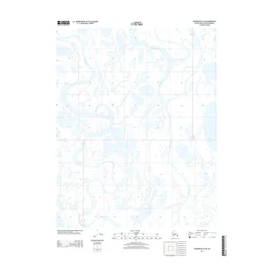
2013 · Teshekpuk B-4 NE
USGS Topo · 1:25,000