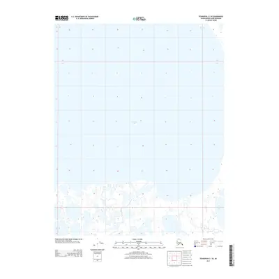
2013 Map of Teshekpuk C-1 SE
USGS Topo · Published 2013About this map
Teshekpuk Lake dominates the northern landscape of this North Slope quadrangle, where the massive water body meets a complex network of thermokarst lakes and coastal wetlands. The southern portion of the sheet reveals the winding path of Kealok Creek, which meanders through a landscape defined by an intricate puzzle of tundra ponds. This 2013 survey provides a detailed look at the hydrology of the Alaska coast during the early 21st century, illustrating the fragile interface between the vast inland lake and the numerous smaller water bodies that characterize this sub-arctic terrain. The absence of roads or permanent settlements emphasizes the environmental character of this portion of the North Slope Borough.
Find a feature on this map
7 named features on this map. Tap any name to fly to it.
Don’t see what you’re looking for? This feature index may not catch every label — zoom into the map to look around manually.
Map Details
Editions of this 2013 Teshekpuk C-1 SE Map
This is the sole edition of this map. No revisions or reprints were ever made.
Other maps of this area

1951 · Harrison Bay
USGS Topo · 1:250,000

1951 · Teshekpuk
USGS Topo · 1:250,000

1955 · Harrison Bay
USGS Topo · 1:250,000

1955 · Teshekpuk
USGS Topo · 1:250,000

1955 · Teshekpuk B-1
USGS Topo · 1:63,360

1955 · Harrison Bay C-5
USGS Topo · 1:63,360

1955 · Harrison Bay B-5
USGS Topo · 1:63,360
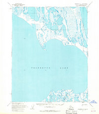
1955 · Teshekpuk C-1
USGS Topo · 1:63,360

1962 · Harrison Bay C-5
USGS Topo · 1:50,000

1964 · Teshekpuk
USGS Topo · 1:250,000