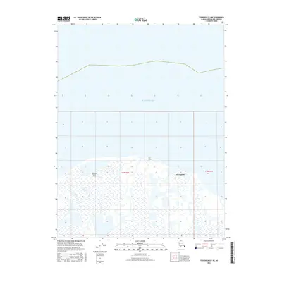
2016 Map of Teshekpuk D-1 NE
USGS Topo · Published 2016About this map
Kokruagarok sits on the northern edge of this coastal landscape, situated where the Alaskan tundra meets the Beaufort Sea. This 2016 survey highlights a remote Arctic environment defined by complex hydrology and a shoreline shaped by shifting ice and water. Near the western edge of the quadrangle, the Lonely Air Station serves as a distinct marker of human presence and infrastructure in the North Slope region. To the east, the Smith River meanders toward the coast, terminating near the prominent geographic feature of Pitt Point. The map provides a look at the intersection of natural river systems and the coastline during a period of modern mapping that utilized SPOT imagery and National Hydrography Dataset details to record these isolated landforms.
Find a feature on this map
8 named features on this map. Tap any name to fly to it.
Don’t see what you’re looking for? This feature index may not catch every label — zoom into the map to look around manually.
Map Details
Editions of this 2016 Teshekpuk D-1 NE Map
This is the sole edition of this map. No revisions or reprints were ever made.
Other maps of this area

1951 · Harrison Bay
USGS Topo · 1:250,000

1951 · Teshekpuk
USGS Topo · 1:250,000

1955 · Harrison Bay
USGS Topo · 1:250,000

1955 · Teshekpuk
USGS Topo · 1:250,000

1955 · Harrison Bay D-5
USGS Topo · 1:63,360

1955 · Teshekpuk D-1
USGS Topo · 1:63,360
1962 · Harrison Bay D-5
USGS Topo · 1:50,000

1964 · Teshekpuk
USGS Topo · 1:250,000
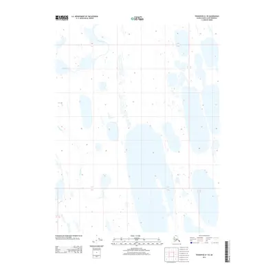
2013 · Teshekpuk D-1 SE
USGS Topo · 1:25,000
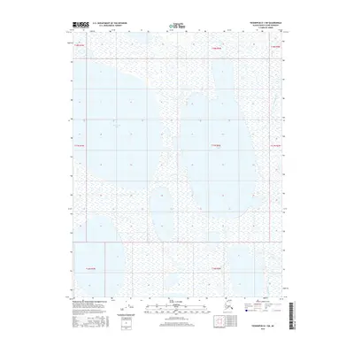
2016 · Teshekpuk D-1 SW
USGS Topo · 1:25,000