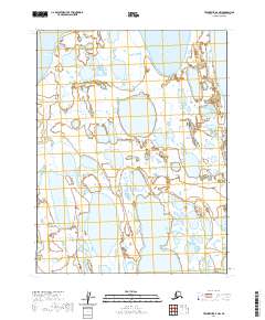
2020 Map of Teshekpuk D-4 NW
USGS Topo · Published 2020About this map
Dease Inlet dominates the western shoreline of this remote coastal landscape on the North Slope, where the arctic tundra meets the Beaufort Sea. The terrain is a intricate mosaic of thermokarst lakes and wetlands, characteristic of the permafrost-rich coastal plain. Admiralty Bay and the smaller Kurgorak Bay penetrate the eastern reaches of the sheet, illustrating the highly irregular and shifting coastline of northern Alaska. This 2020 survey documents a land almost entirely defined by water, with vast stretches of wetland and small ponds punctuated by the larger inlets. The absence of roads or permanent settlements emphasizes the character of the region as a primary habitat for migratory wildlife and a vital area for traditional subsistence activities within the t19n r13w and t18n r13w townships.
Find a feature on this map
7 named features on this map. Tap any name to fly to it.
Don’t see what you’re looking for? This feature index may not catch every label — zoom into the map to look around manually.
Map Details
Editions of this 2020 Teshekpuk D-4 NW Map
This is the sole edition of this map. No revisions or reprints were ever made.
Other maps of this area

1945 · Barrow
USGS Topo · 1:250,000

1949 · Barrow
USGS Topo · 1:250,000

1951 · Teshekpuk
USGS Topo · 1:250,000

1955 · Barrow A-2
USGS Topo · 1:63,360

1955 · Barrow
USGS Topo · 1:250,000

1955 · Teshekpuk
USGS Topo · 1:250,000
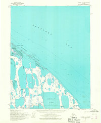
1955 · Barrow A-1
USGS Topo · 1:63,360
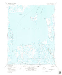
1955 · Teshekpuk D-5
USGS Topo · 1:63,360

1955 · Teshekpuk D-4
USGS Topo · 1:63,360
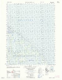
1962 · Barrow A-1
USGS Topo · 1:50,000