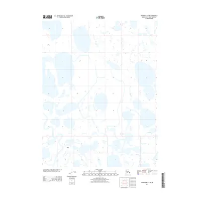
2013 Map of Teshekpuk D-4 SE
USGS Topo · Published 2013About this map
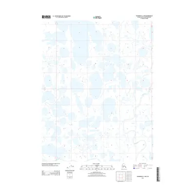
Alaktak River and the Piasuk River dominate this low-lying Arctic coastal plain in the North Slope Borough. This 2013 survey illustrates a landscape of extreme water saturation, characterized by an intricate network of thaw lakes and interconnected ponds that define the terrain of Alaktak. The drainage patterns here are subtle, with slow-moving river systems winding through the tundra. The absence of traditional roads or permanent settlements highlights the isolation of this region, where the primary geographical markers are the shifting shorelines of nameless lakes and the meandering paths of the major rivers. The map provides a precise look at the hydrology of the Alaskan north during the early 21st century, showing a terrain where land and water are perpetually intertwined.
Find a feature on this map
7 named features on this map. Tap any name to fly to it.
Don’t see what you’re looking for? This feature index may not catch every label — zoom into the map to look around manually.
Map Details
Editions of this 2013 Teshekpuk D-4 SE Map
This is the sole edition of this map. No revisions or reprints were ever made.
Other maps of this area

1951 · Teshekpuk
USGS Topo · 1:250,000

1955 · Teshekpuk
USGS Topo · 1:250,000

1955 · Teshekpuk C-3
USGS Topo · 1:63,360

1955 · Teshekpuk C-4
USGS Topo · 1:63,360
1955 · Teshekpuk D-3
USGS Topo · 1:63,360

1955 · Teshekpuk D-4
USGS Topo · 1:63,360

1964 · Teshekpuk
USGS Topo · 1:250,000
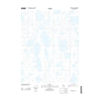
2013 · Teshekpuk C-4 NE
USGS Topo · 1:25,000
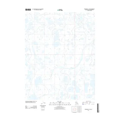
2013 · Teshekpuk C-3 NW
USGS Topo · 1:25,000
2013 · Teshekpuk C-4 NW
USGS Topo · 1:25,000