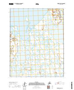
2020 Map of Teshekpuk D-5 SE
USGS Topo · Published 2020About this map
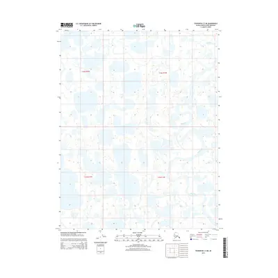
Chipp River meanders across this Arctic coastal plain in the North Slope Borough, carving a complex network of wetlands and tundra pools. The landscape is dominated by thermokarst features, most notably the expansive Pittalukruak Lake in the northeastern reaches of the survey. A particularly unique geological marker is noted at the Admiralty Oil Seep, signifying the natural petroleum presence that has long defined the industrial potential of this region. This 2020 map, based on data collected by the U.S. Geological Survey and other agencies, provides a precise record of the hydrography as it existed at the start of the decade, showing the intricate relationship between the winding river channels and the countless unnamed ponds that saturate the terrain.
Find a feature on this map
11 named features on this map. Tap any name to fly to it.
Don’t see what you’re looking for? This feature index may not catch every label — zoom into the map to look around manually.
Map Details
Editions of this 2020 Teshekpuk D-5 SE Map
This is the sole edition of this map. No revisions or reprints were ever made.
Other maps of this area

1951 · Teshekpuk
USGS Topo · 1:250,000

1955 · Teshekpuk
USGS Topo · 1:250,000

1955 · Teshekpuk C-5
USGS Topo · 1:63,360

1955 · Teshekpuk C-4
USGS Topo · 1:63,360
1955 · Teshekpuk D-5
USGS Topo · 1:63,360

1955 · Teshekpuk D-4
USGS Topo · 1:63,360

1964 · Teshekpuk
USGS Topo · 1:250,000
2013 · Teshekpuk C-4 NW
USGS Topo · 1:25,000
2013 · Teshekpuk D-4 SW
USGS Topo · 1:25,000
2015 · Teshekpuk C-5 NE
USGS Topo · 1:25,000