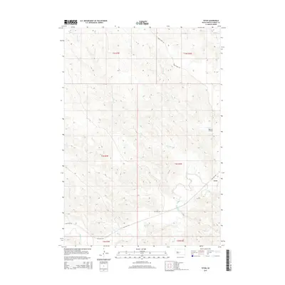
2015 Map of Teton
USGS Topo · Published 2015About this map
Teton is the primary focus of this high-relief South Dakota landscape, where the Bad River carves a deep valley through the prairie. The geography is defined by a dense network of drainage channels, including Ash Cr and Broken Neck Cr which feed into the river system. To the north, Ballard Canyon cuts through the elevation, accompanied by several prominent waterways such as Powell Cr and Stranger Cr.
Find a feature on this map
17 named features on this map. Tap any name to fly to it.
Don’t see what you’re looking for? This feature index may not catch every label — zoom into the map to look around manually.
Map Details
Editions of this 2015 Teton Map
This is the sole edition of this map. No revisions or reprints were ever made.
Other maps of this area
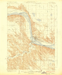
1924 · Pierre
USGS Topo · 1:62,500
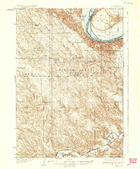
1937 · Oahe
USGS Topo · 1:62,500
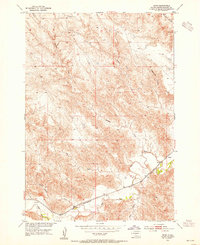
1953 · Teton
USGS Topo · 1:24,000
1953 · Oahe SW
USGS Topo · 1:24,000
1953 · Pierre SW
USGS Topo · 1:24,000
1953 · Wendte
USGS Topo · 1:24,000
1953 · Wendte NE
USGS Topo · 1:24,000
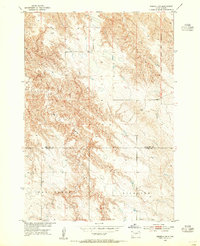
1953 · Pierre 3 NW
USGS Topo · 1:24,000
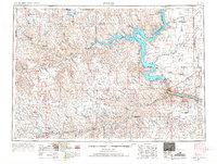
1954 · Pierre
USGS Topo · 1:250,000
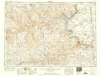
1958 · Pierre
USGS Topo · 1:250,000