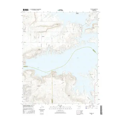
2016 Map of Texanna
USGS Topo · Published 2016About this map
Eufaula Lake dominates the landscape of this region, where the winding shorelines of McIntosh, Haskell, and Pittsburg counties converge. The modern settlement patterns of Texanna and Longtown are shown in relation to the area's prominent topographic landmarks, including Texanna Mtn and Standing Rock Mtn. To the north, the small community of Duchess Landing sits along the lake's edge, while the southern reaches of the map are defined by the elevations of Brooken Mtn. This record provides essential data for genealogists and local historians, pinpointing the locations of Triplett Cem and Brooken Cem. The map illustrates a landscape of high ridges and deep inlets, where water bodies like Texanna Br and Piney Cr feed into the reservoir system, reflecting the contemporary geography of eastern Oklahoma.
Find a feature on this map
93 named features on this map. Tap any name to fly to it.
Don’t see what you’re looking for? This feature index may not catch every label — zoom into the map to look around manually.
Map Details
Editions of this 2016 Texanna Map
This is the sole edition of this map. No revisions or reprints were ever made.
Other maps of this area

1900 · Sansbois
USGS Topo · 1:125,000

1900 · Canadian
USGS Topo · 1:125,000

1909 · Sans Bois
USGS Topo · 1:125,000

1911 · Sansbois
USGS Topo · 1:125,000

1946 · Fort Smith
USGS Topo · 1:250,000

1963 · Porum
USGS Topo · 1:24,000

1963 · Warner NW
USGS Topo · 1:24,000

1963 · Eufaula
USGS Topo · 1:24,000

1963 · Checotah
USGS Topo · 1:24,000

1963 · Texanna
USGS Topo · 1:24,000