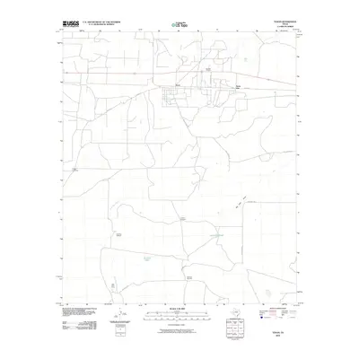
2010 Map of Texon
USGS Topo · Published 2010About this map
Texon and the adjacent settlement of Santa Rita sit at the heart of this Permian Basin landscape, characterized by the extensive infrastructure of the Big Lake Oil Field. This area of Reagan County reflects the mid-century industrial legacy of Texas petroleum, where specialized camps like Lone Wolf Camp supported the workforce. Away from the concentrated grid of Texon Rd and FM 1555, the terrain is defined by ranching and resource management. Vital water sources are marked by the Alta Loma Tank and Pipeline Tank, while the drainage of Live Oak Creek and Big Lake Draw provides the primary relief in an otherwise level landscape. The presence of several named landmarks, including Mustang Windmill and Highland Windmill, highlights the critical importance of groundwater for both livestock and industrial operations in this arid region.
Find a feature on this map
20 named features on this map. Tap any name to fly to it.
Don’t see what you’re looking for? This feature index may not catch every label — zoom into the map to look around manually.
Map Details
Editions of this 2010 Texon Map
This is the sole edition of this map. No revisions or reprints were ever made.
Other maps of this area

1928 · Rankin
USGS Topo · 1:125,000

1954 · San Angelo
USGS Topo · 1:250,000

1958 · San Angelo
USGS Topo · 1:250,000

1965 · San Angelo
USGS Topo · 1:250,000

1970 · Sevenmile Corner SE
USGS Topo · 1:24,000
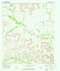
1970 · Rankin SE
USGS Topo · 1:24,000
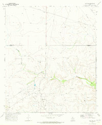
1970 · Texon SE
USGS Topo · 1:24,000
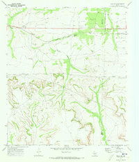
1970 · Rankin NE
USGS Topo · 1:24,000

1970 · Garrison Draw
USGS Topo · 1:24,000

1970 · Gardener Draw
USGS Topo · 1:24,000