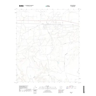
2019 Map of Texon
USGS Topo · Published 2019About this map
Texon occupies a distinct grid along the southern edge of the Santa Fe Railway corridor, surrounded by the high plains of Reagan County. This area illustrates the specialized settlement patterns of West Texas, where road networks like Texon Rd and F-M 1675 intersect to support localized transit between industrial and ranching outposts. The topography is defined by the significant drainage of Big Lake Draw and the course of Live Oak Creek, while the presence of named water features like Alta Loma Tank and Pipeline Tank speaks to the vital infrastructure required for both livestock and early oil operations. In the southern portion of the quadrangle, Grierson Springs marks a historically significant water source in this arid landscape. The map's layout, featuring Golf Course Rd and various ranch roads, shows how modern recreation and traditional land use have integrated over time in the Permian Basin.
Find a feature on this map
17 named features on this map. Tap any name to fly to it.
Don’t see what you’re looking for? This feature index may not catch every label — zoom into the map to look around manually.
Map Details
Editions of this 2019 Texon Map
This is the sole edition of this map. No revisions or reprints were ever made.
Other maps of this area

1928 · Rankin
USGS Topo · 1:125,000

1954 · San Angelo
USGS Topo · 1:250,000

1958 · San Angelo
USGS Topo · 1:250,000

1965 · San Angelo
USGS Topo · 1:250,000

1970 · Sevenmile Corner SE
USGS Topo · 1:24,000
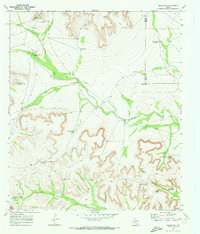
1970 · Rankin SE
USGS Topo · 1:24,000
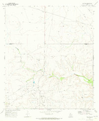
1970 · Texon SE
USGS Topo · 1:24,000
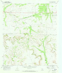
1970 · Rankin NE
USGS Topo · 1:24,000

1970 · Garrison Draw
USGS Topo · 1:24,000

1970 · Gardener Draw
USGS Topo · 1:24,000