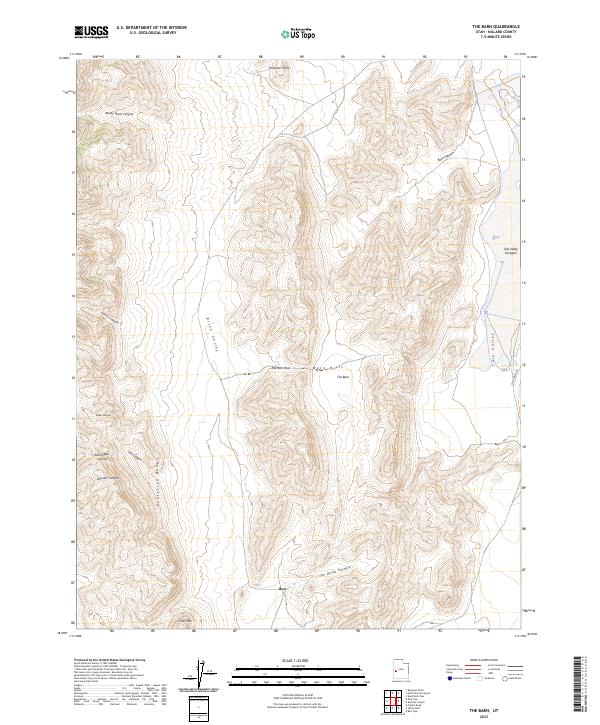
2023 Map of The Barn
USGS Topo · Published 2023About this map
The Confusion Range dominates this West Desert landscape, where high ridgelines give way to the expansive Tule Valley Hardpan. This area of Millard County is defined by its dramatic relief and sparse human footprint, centered around the historic locality of Ibex. To the north, the topographic prominent point known as The Barn rises above the Barn Hills, serving as a natural landmark for those navigating The Barn Pass.
Find a feature on this map
19 named features on this map. Tap any name to fly to it.
Don’t see what you’re looking for? This feature index may not catch every label — zoom into the map to look around manually.
Map Details
Editions of this 2023 The Barn Map
This is the sole edition of this map. No revisions or reprints were ever made.
Other maps of this area

1908 · Fish Springs
USGS Topo · 1:250,000

1910 · Fish Springs
USGS Topo · 1:250,000

1953 · Richfield
USGS Topo · 1:250,000

1953 · Delta
USGS Topo · 1:250,000

1958 · Richfield
USGS Topo · 1:250,000

1958 · Delta
USGS Topo · 1:250,000

1960 · Notch Peak
USGS Topo · 1:62,500

1960 · Crystal Peak
USGS Topo · 1:62,500

1960 · Conger Mountain
USGS Topo · 1:62,500

1960 · The Barn
USGS Topo · 1:62,500