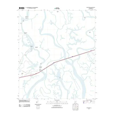
2011 Map of The Basin
USGS Topo · Published 2011About this map
The delta landscape of the Mobile River and Tensau River dominates this 2011 survey, revealing a complex network of waterways that define the northern reaches of Mobile Bay's watershed. The terrain is characterized by numerous river bends and high points along the banks, such as Twentyseven Mile Bluff and Twentyfour Mile Bend, which historically served as navigational markers for river traffic. Central to the map is the large water body known as The Basin, surrounded by intricate bayous including Squirrel Bayou and Duck Bayou.
Find a feature on this map
54 named features on this map. Tap any name to fly to it.
Don’t see what you’re looking for? This feature index may not catch every label — zoom into the map to look around manually.
Map Details
Editions of this 2011 The Basin Map
This is the sole edition of this map. No revisions or reprints were ever made.
Other maps of this area

1941 · Chickasaw
USGS Topo · 1:31,680

1941 · Bay Minette
USGS Topo · 1:62,500

1941 · Creola
USGS Topo · 1:62,500

1942 · Hurricane
USGS Topo · 1:31,680
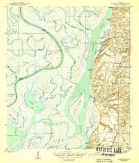
1943 · Hurricane
USGS Topo · 1:31,680

1943 · Creola
USGS Topo · 1:62,500

1943 · Chickasaw
USGS Topo · 1:31,680

1943 · Bay Minette
USGS Topo · 1:62,500

1943 · Tensaw
USGS Topo · 1:62,500

1943 · Citronelle
USGS Topo · 1:62,500