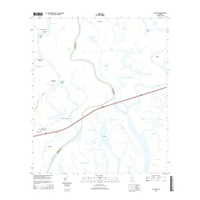
2014 Map of The Basin
USGS Topo · Published 2014About this map
The delta complex of the Mobile River and Tensaw River dominates this 2014 survey, revealing a landscape defined by shifting waterways and historical river-bluff navigation. The boundary between Mobile and Baldwin Counties winds through a dense network of bayous and lakes, including Bottle Creek and Lower Fisher Lake. This area was historically significant for river travel, evidenced by the sequential naming of landmark bluffs such as Twentyseven Mile Bluff and Twentyone Mile Bluff, which served as critical distance markers for pilots navigating the river systems north of the coast.
Find a feature on this map
53 named features on this map. Tap any name to fly to it.
Don’t see what you’re looking for? This feature index may not catch every label — zoom into the map to look around manually.
Map Details
Editions of this 2014 The Basin Map
This is the sole edition of this map. No revisions or reprints were ever made.
Other maps of this area

1941 · Chickasaw
USGS Topo · 1:31,680

1941 · Bay Minette
USGS Topo · 1:62,500

1941 · Creola
USGS Topo · 1:62,500

1942 · Hurricane
USGS Topo · 1:31,680
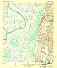
1943 · Hurricane
USGS Topo · 1:31,680

1943 · Creola
USGS Topo · 1:62,500

1943 · Chickasaw
USGS Topo · 1:31,680

1943 · Bay Minette
USGS Topo · 1:62,500

1943 · Tensaw
USGS Topo · 1:62,500

1943 · Citronelle
USGS Topo · 1:62,500